| Weld | |
|---|---|
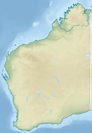 Location of the mouth in Western Australia | |
| Location | |
| Country | Australia |
| State | Western Australia |
| Region | South West |
| Physical characteristics | |
| Source | Mount Burnside |
| • location | Lake Muir State Forest |
| • elevation | 211 m (692 ft) |
| Mouth | Deep River |
• coordinates | 34°49′31″S 116°34′59″E / 34.82528°S 116.58306°E |
• elevation | 52 m (171 ft) |
| Length | 37 km (23 mi) |
| Basin size | 240 km2 (93 sq mi) |
| Basin features | |
| National park | Shannon National Park |
| [1][2] | |
The Weld River is a river in the South West region of Western Australia.
The river rises below Mount Burnside in the Lake Muir State forest. The river flows in a southerly direction through the Shannon National Park until it flows into the Deep River, of which it is a tributary.
The water quality of the river is excellent and is considered fresh.[3]
References
- ↑ "Map of Weld River, WA". Bonzle Digital Atlas. 2006. Retrieved 23 November 2008.
- ↑ "Journal of Hydrology - Floodflow frequency model selection in Australia" (PDF). 1992. Retrieved 23 November 2008.
{{cite journal}}: Cite journal requires|journal=(help) - ↑ Boulton, A.J.; Marmonier, P.; Davis, J.A. (2006). "Hydrological exchange and subsurface water chemistry in streams varying in salinity in south-western Australia". International Journal of Salt Lake Research. 8 (4): 361–382. doi:10.1023/A:1009060912470. Retrieved 3 November 2008.
Rivers of Western Australia | |
|---|---|
| Rivers of the Gascoyne region | |
| Rivers of the Goldfields-Esperance region | |
| Rivers of the Great Southern region | |
| Rivers of the Kimberley region |
|
| Rivers of the Mid West region | |
| Rivers of the Peel and Perth regions | |
| Rivers of the Pilbara region | |
| Rivers of the South West region | |
| Rivers of the Wheatbelt region | |
| |
This article is issued from Wikipedia. The text is licensed under Creative Commons - Attribution - Sharealike. Additional terms may apply for the media files.