| Wendenhorn | |
|---|---|
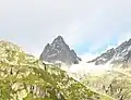
.jpg.webp) Wendenhorn seen from Fürlauwi 46°43′48″N 8°32′33″E / 46.730002°N 8.542587°E | |
| Highest point | |
| Elevation | 3,023 m (9,918 ft) |
| Prominence | 311 m (1,020 ft)[1] |
| Parent peak | Gross Spannort |
| Listing | Alpine mountains above 3000 m |
| Coordinates | 46°45′13.9″N 8°26′36.8″E / 46.753861°N 8.443556°E |
| Geography | |
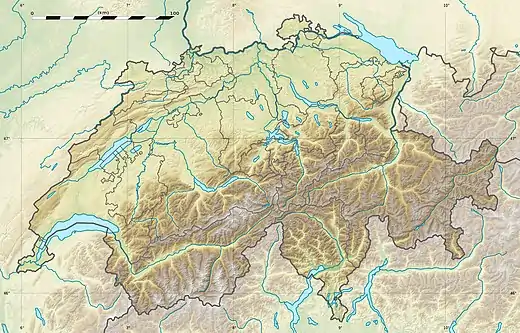 Wendenhorn Location in Switzerland | |
| Location | Bern/Uri, Switzerland |
| Parent range | Urner Alps |
The Wendenhorn is a mountain of the Urner Alps, located on the border between the Swiss cantons of Bern and Uri. It is located approximately halfway between the Titlis and the Susten Pass.[2]
 View from Sustenbrüggli (east side)
References
- ↑ Retrieved from the Swisstopo topographic maps. The key col is the Grassenpass (2,712 m).
- ↑ Wendenhorn on Map of Swisstopo
External links
Wikimedia Commons has media related to Wendenhorn.
This article is issued from Wikipedia. The text is licensed under Creative Commons - Attribution - Sharealike. Additional terms may apply for the media files.