| West Ashby | |
|---|---|
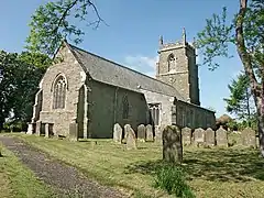 All Saints' Church, West Ashby | |
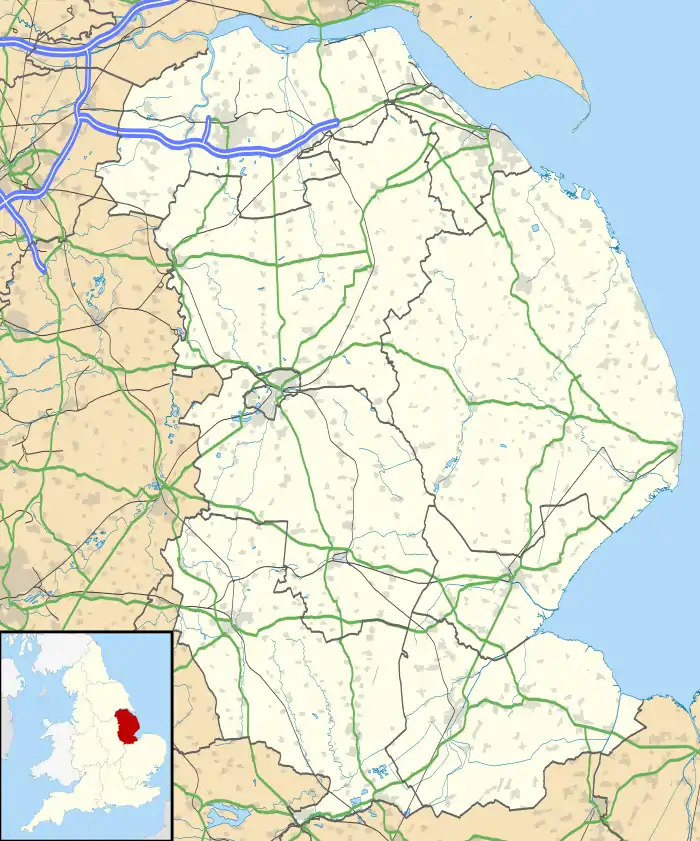 West Ashby Location within Lincolnshire | |
| Population | 252 (2011) |
| OS grid reference | TF265723 |
| • London | 120 mi (190 km) S |
| Civil parish |
|
| District | |
| Shire county | |
| Region | |
| Country | England |
| Sovereign state | United Kingdom |
| Post town | HORNCASTLE |
| Postcode district | LN9 |
| Dialling code | 01507 |
| Police | Lincolnshire |
| Fire | Lincolnshire |
| Ambulance | East Midlands |
| UK Parliament | |
West Ashby is a village and civil parish in the East Lindsey district of Lincolnshire, England. It is situated on the Horncastle to Louth A153 road, and 2 miles (3.2 km) north from the centre of Horncastle. Farthorpe, Middlethorpe, and Furzehills are hamlets within the parish.
According to the 2001 Census and 2011 Census West Ashby had a population of 252.[1]
The name 'Ashby' derives from the Old Norse askr-by meaning 'ash tree farm/settlement'.[2]
The remains of a henge monument can be found just west of the village, off Docking Lane. Furze Hills is the site of the plague village of Northorpe.[3]
All Saints parish church was extensively restored between 1848 and 1873.
Horncastle's golf club is located at West Ashby Country Park, where Shearman's Wath road crosses the River Bain.
References
- ↑ "Parish population 2001 & 2011". Retrieved 22 August 2015.
- ↑ "Key to English Place-names". Key to English Place-names. Retrieved 26 January 2023.
- ↑ West Ashby louthuk.com. Retrieved 18 April 2011
External links
 Media related to West Ashby at Wikimedia Commons