| Wiar Вігор | |
|---|---|
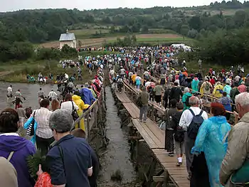
 The Wiar River near Nyzhankovychi | |
| Location | |
| Country | Poland, Ukraine |
| Physical characteristics | |
| Source | Mount Brańcowa |
| • location | Jureczkowa, Bieszczady County, Subcarpathian Voivodeship, Poland |
| • elevation | 620 m (2,030 ft) |
| Mouth | San |
• location | Przemyśl, Subcarpathian Voivodeship, Poland |
• coordinates | 49°47′32″N 22°49′32″E / 49.79222°N 22.82556°E |
| Length | 70.4 km (43.7 mi) |
| Basin size | 798.2 km2 (308.2 sq mi) |
| Discharge | |
| • average | 6 m3/s (210 cu ft/s) |
| Basin features | |
| Tributaries | |
| • left | Zalissia River |
| • right | Bibiska Mala Vyrva Bukhta Vyrva |
| Progression | San→ Vistula→ Baltic Sea |
Kalwaria Pacławska, Poland
Wiar or Vihor (Ukrainian: Вігор) is a left tributary of the San River in southeastern Poland and Ukraine. It flows for 70.4 kilometres, and joins the San near Przemyśl.
Tributaries
- Left
- Right
- Bibiska
- Mala Vyrva
- Bukhta
- Vyrva
- Arlamivka (left)
- Chyzhka (right)
References
This article is issued from Wikipedia. The text is licensed under Creative Commons - Attribution - Sharealike. Additional terms may apply for the media files.