Widen, West Virginia | |
|---|---|
 Kanawha Street | |
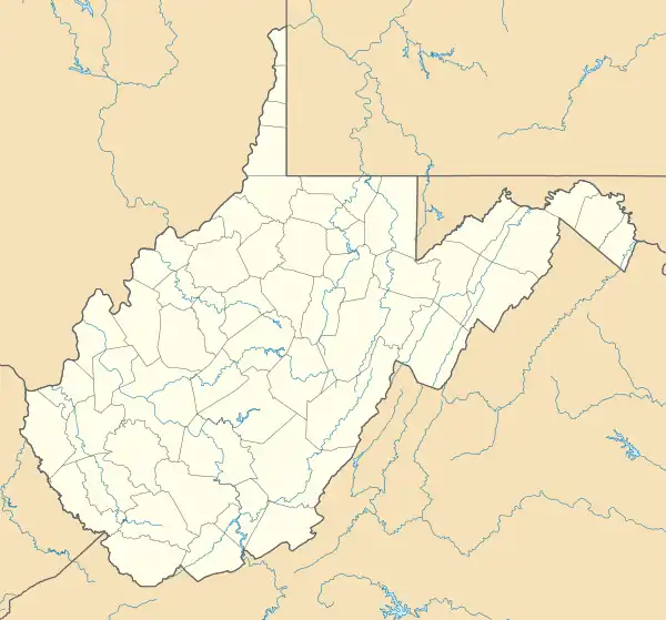 Widen Location within the state of West Virginia  Widen Widen (the United States) | |
| Coordinates: 38°27′58″N 80°51′26″W / 38.46611°N 80.85722°W | |
| Country | United States |
| State | West Virginia |
| County | Clay |
| Elevation | 1,148 ft (350 m) |
| Time zone | UTC-5 (Eastern (EST)) |
| • Summer (DST) | UTC-4 (EDT) |
| ZIP codes | 25211 |
| GNIS ID | 1549121[1] |
Widen is an unincorporated community and coal town in Clay County, West Virginia, United States.
The community was named after L. G. Widen, a railroad official.[2]
References
- ↑ U.S. Geological Survey Geographic Names Information System: Widen, West Virginia
- ↑ Kenny, Hamill (1945). West Virginia Place Names: Their Origin and Meaning, Including the Nomenclature of the Streams and Mountains. Piedmont, WV: The Place Name Press. p. 679.
Municipalities and communities of Clay County, West Virginia, United States | ||
|---|---|---|
| Town | 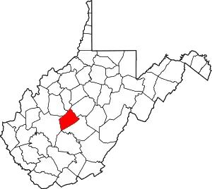 Clay County map | |
| Unincorporated communities |
| |
| Footnotes | ‡This populated place also has portions in an adjacent county or counties | |
This article is issued from Wikipedia. The text is licensed under Creative Commons - Attribution - Sharealike. Additional terms may apply for the media files.