Wrightsville, Ohio | |
|---|---|
 Wrightsville community sign on Ohio State Route 247 South | |
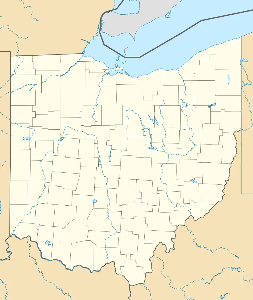 Wrightsville, Ohio Location of Wrightsville, Ohio | |
| Coordinates: 38°42′10″N 83°30′44″W / 38.70278°N 83.51222°W | |
| Country | United States |
| State | Ohio |
| County | Adams |
| Township | Monroe |
| Time zone | UTC-5 (Eastern (EST)) |
| • Summer (DST) | UTC-4 (EDT) |
| ZIP codes | 45144 (Manchester) |
| Area code | 937 |
| GNIS feature ID | 1061804 |
Wrightsville is an unincorporated community in Adams County, in the U.S. state of Ohio.[1]
History
Wrightsville was platted in 1847.[2] The post office Wrightsville once contained was first called Mahala, then Vineyard Hill.[2] The post office was established as Mahala in 1850, the name was changed to Vineyard Hill in 1857, and the post office closed in 1907.[3]
References
- ↑ U.S. Geological Survey Geographic Names Information System: Wrightsville, Adams County, Ohio
- 1 2 Evans, Nelson Wiley; Stivers, Emmons B. (1900). A History of Adams County, Ohio: From Its Earliest Settlement to the Present Time. E B. Stivers. p. 450.
- ↑ "Adams County". Jim Forte Postal History. Retrieved December 12, 2015.
Municipalities and communities of Adams County, Ohio, United States | ||
|---|---|---|
| Villages | 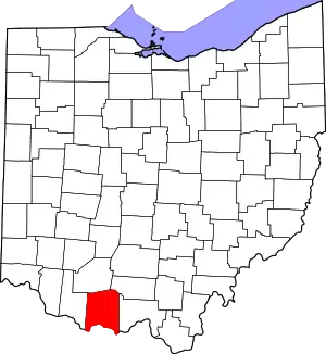 Map of Ohio highlighting Adams County | |
| Townships | ||
| CDPs | ||
| Other communities | ||
This article is issued from Wikipedia. The text is licensed under Creative Commons - Attribution - Sharealike. Additional terms may apply for the media files.