Wynyard/W. B. Needham Field Aerodrome | |||||||||||
|---|---|---|---|---|---|---|---|---|---|---|---|
| Summary | |||||||||||
| Airport type | Public | ||||||||||
| Operator | Town of Wynyard and RM of Big Quill No. 308[1] | ||||||||||
| Location | Big Quill No. 308, near Wynyard, Saskatchewan | ||||||||||
| Time zone | CST (UTC−06:00) | ||||||||||
| Elevation AMSL | 1,746 ft / 532 m | ||||||||||
| Coordinates | 51°48′36″N 104°10′12″W / 51.81000°N 104.17000°W | ||||||||||
| Map | |||||||||||
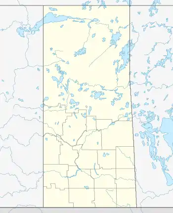 CYYO Location in Saskatchewan 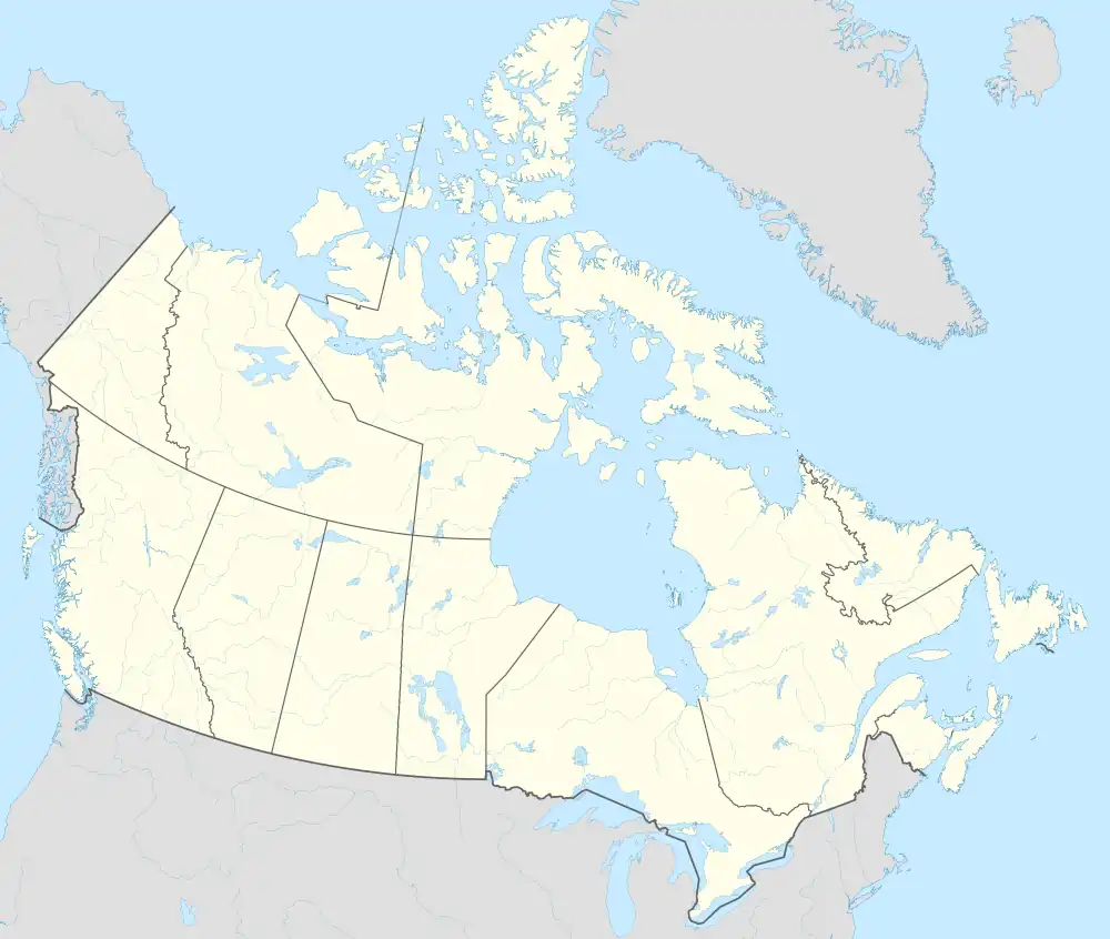 CYYO CYYO (Canada) | |||||||||||
| Runways | |||||||||||
| |||||||||||
Source: Canada Flight Supplement[2] | |||||||||||
Wynyard/W. B. Needham Field Aerodrome (IATA: none, ICAO: CYYO), also known as Wynyard Memorial Airport, is located 2.2 nautical miles (4.1 km; 2.5 mi) north of Wynyard, Saskatchewan, Canada.
See also
References
- ↑ Airport Contacts
- ↑ Canada Flight Supplement. Effective 0901Z 16 July 2020 to 0901Z 10 September 2020.
External links
| By name | |
|---|---|
| By location indicator | |
| By province/territory | |
| By area | |
| National Airports System | |
| Related | |
| |
This article is issued from Wikipedia. The text is licensed under Creative Commons - Attribution - Sharealike. Additional terms may apply for the media files.