Yigoban | |
|---|---|
Village | |
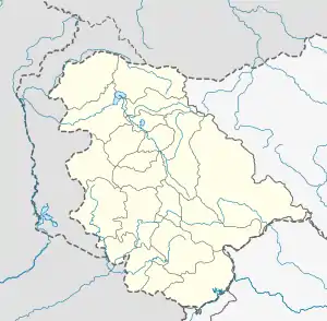 Yigoban Location in Jammu and Kashmir, India  Yigoban Yigoban (India) | |
| Coordinates: 34°45′32″N 74°23′28″E / 34.759°N 74.391°E | |
| Country | |
| Union Territory | |
| District | Kupwara |
| Languages | |
| • Official | Kashmiri, Hindi, Urdu, Dogri, English[2][3] |
| Time zone | UTC+5:30 (IST) |
| PIN | 193222[4] |
Yigoban is a small village in Kupwara district of the Indian union territory of Jammu and Kashmir.
See also
References
- ↑ "Yigoban Location (OpenStreetMap)". OpenStreetMap. Retrieved 9 July 2020.
- ↑ "The Jammu and Kashmir Official Languages Act, 2020" (PDF). The Gazette of India. 27 September 2020. Retrieved 27 September 2020.
- ↑ "Parliament passes JK Official Languages Bill, 2020". Rising Kashmir. 23 September 2020. Retrieved 30 May 2021.
- ↑ "Yigoban (Google Maps)". Google Maps. Retrieved 21 April 2020.
This article is issued from Wikipedia. The text is licensed under Creative Commons - Attribution - Sharealike. Additional terms may apply for the media files.