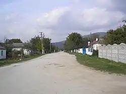
Zemlianychne
Земляничне | |
|---|---|
Village | |
 | |
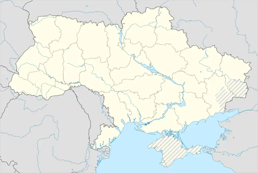 Zemlianychne Location of Zemlianychne in Crimea .svg.png.webp) Zemlianychne Zemlianychne (Crimea) | |
| Coordinates: 45°03′15″N 34°18′54″E / 45.05417°N 34.31500°E | |
| Country | |
| Republic | Crimea |
| Raion | Bilohirsk |
| Elevation | 330 m (1,080 ft) |
| Population (2014) | |
| • Total | |
| Time zone | UTC+4 (MSK) |
| Postal code | 97651 |
| Area code | +380 6559 |
Zemlianychne (Ukrainian: Земляничне; Russian: Земляничное; Crimean Tatar: Ortalan) is a village in the Bilohirsk Raion of Crimea. Population: 660 (2014 Census).[2]
On 15 March 2014, the body of activist Reşat Amet was found by the police in a forest near the village of Zemlianychne in Bilohirsk Raion about 60 kilometers east of the Crimean capital.[3]
References
- ↑ "Zemlianychne (Crimea region)". weather.in.ua. Retrieved 22 July 2022.
- ↑ Russian Federal State Statistics Service (2014). "Таблица 1.3. Численность населения Крымского федерального округа, городских округов, муниципальных районов, городских и сельских поселений" [Table 1.3. Population of Crimean Federal District, Its Urban Okrugs, Municipal Districts, Urban and Rural Settlements]. Федеральное статистическое наблюдение «Перепись населения в Крымском федеральном округе». ("Population Census in Crimean Federal District" Federal Statistical Examination) (in Russian). Federal State Statistics Service. Retrieved January 4, 2016.
- ↑ Najibullah, Farangis (18 March 2014). "Crimean Tatar Community Mourns Death Of Tortured Local Activist". rferl.org. Radio Free Europe; Radio Liberty. Retrieved 18 September 2014.
This article is issued from Wikipedia. The text is licensed under Creative Commons - Attribution - Sharealike. Additional terms may apply for the media files.