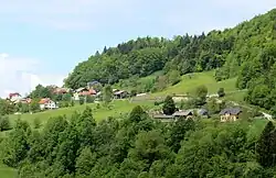
Zgornje Palovče | |
|---|---|
 | |
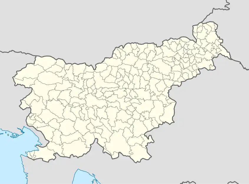 Zgornje Palovče Location in Slovenia | |
| Coordinates: 46°12′46.07″N 14°38′56.98″E / 46.2127972°N 14.6491611°E | |
| Country | |
| Traditional region | Upper Carniola |
| Statistical region | Central Slovenia |
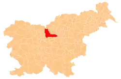
| Municipality | Kamnik |
| Area | |
| • Total | 1.99 km2 (0.77 sq mi) |
| Elevation | 656.6 m (2,154.2 ft) |
| Population (2002) | |
| • Total | 32 |
| [1] | |
Zgornje Palovče (pronounced [ˈzɡoːɾnjɛ ˈpaːlɔu̯tʃɛ]; in older sources also Zgornje Paloviče,[2] German: Oberpalowitsch[2]) is a settlement in the hills east of Kamnik in the Upper Carniola region of Slovenia.
A 350-year-old farmhouse in the settlement, known as the Budnar House, has been converted into a small museum. It has a shingled roof and much of the original furnishings, including a smoke kitchen and a prayer corner. Various exhibitions are periodically held in what used to be the barn.[3]
References
- ↑ Statistical Office of the Republic of Slovenia Archived November 18, 2008, at the Wayback Machine
- 1 2 Leksikon občin kraljestev in dežel zastopanih v državnem zboru, vol. 6: Kranjsko. 1906. Vienna: C. Kr. Dvorna in Državna Tiskarna, p. 28.
- ↑ Slovenian Tourist Board website
External links
 Media related to Zgornje Palovče at Wikimedia Commons
- on Geopedia
This article is issued from Wikipedia. The text is licensed under Creative Commons - Attribution - Sharealike. Additional terms may apply for the media files.