Zhongshan Township
中山乡 | |
|---|---|
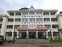 The Government building of Zhongshan Township. | |
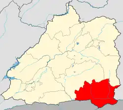 Location of the township region in Mangshi | |
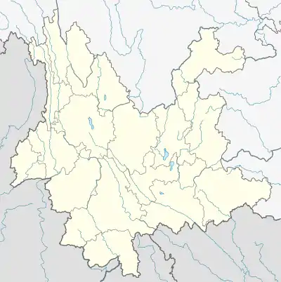 Zhongshan Township Location in Yunnan | |
| Coordinates: 24°08′09″N 98°34′51″E / 24.13591°N 98.580829°E | |
| Country | People's Republic of China |
| Province | Yunnan |
| Prefecture-level city | Dehong Dai and Jingpo Autonomous Prefecture |
| County-level city | Mangshi |
| Area | |
| • Total | 278 km2 (107 sq mi) |
| Population (2017) | |
| • Total | 12,488 |
| • Density | 45/km2 (120/sq mi) |
| Time zone | UTC+08:00 (China Standard) |
| Postal code | 678406 |
| Area code | 0692 |
Zhongshan Township (simplified Chinese: 中山乡; traditional Chinese: 中山鄉; pinyin: Zhōngshān Xiāng) is a township in Mangshi, Yunnan, China. As of the 2017 census it had a population of 12,488 and an area of 278-square-kilometre (107 sq mi). It is adjacent to Myanmar.[1]
Administrative division
As of December 2015, the township is divided into 5 villages:
- Mangbing (芒丙村)
- Xiaoshuijing (小水井村)
- Huangjiazhai (黄家寨村)
- Saigang (赛岗村)
- Muchengpo (木城坡村)
Economy
The local economy is primarily based upon agriculture and animal husbandry.[2]
Education
- Zhongshan Township Middle School
- Zhongshan Township Central Primary School
Transport
The Mengxiao Road passes across the township east to west.
References
- ↑ 中山乡乡情概况. dhms.gov.cn (in Chinese). 2018-03-26.
- ↑ 云南芒市中山乡 傈僳群众种上“甜蜜果”. sohu (in Chinese). 2017-08-10.
This article is issued from Wikipedia. The text is licensed under Creative Commons - Attribution - Sharealike. Additional terms may apply for the media files.