Zijderveld | |
|---|---|
Village | |
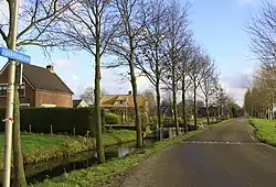 Street view | |
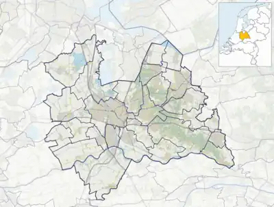 Zijderveld Location in the Netherlands 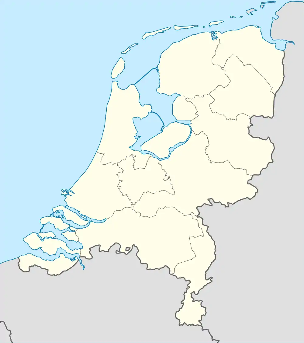 Zijderveld Zijderveld (Netherlands) | |
| Coordinates: 51°56′31″N 5°8′22″E / 51.94194°N 5.13944°E | |
| Country | Netherlands |
| Province | Utrecht |
| Municipality | Vijfheerenlanden |
| Area | |
| • Total | 4.96 km2 (1.92 sq mi) |
| Elevation | 1 m (3 ft) |
| Population (2021)[1] | |
| • Total | 870 |
| • Density | 180/km2 (450/sq mi) |
| Time zone | UTC+1 (CET) |
| • Summer (DST) | UTC+2 (CEST) |
| Postal code | 4122[1] |
| Dialing code | 0345 |
| Major roads | A2, N484 |
Zijderveld is a village in the Dutch province of Utrecht (province). It is located about 6 km northeast of Leerdam, in the municipality of Vijfheerenlanden.
The village was first mentioned in 1282 as Zijtwendervelt, and means "field at a sidewards dike".[3] The Dutch Reformed Church dates from the 15th century, and has been rebuilt in 1830. In 1840, it was home to 532 people.[4]
Gallery
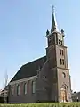 Church in Zijderveld
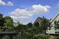
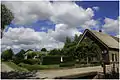 Farm in Zijderveld
References
- 1 2 3 "Kerncijfers wijken en buurten 2021". Central Bureau of Statistics. Retrieved 26 March 2022.
two entries
- ↑ "Postcodetool for 4122GA". Actueel Hoogtebestand Nederland (in Dutch). Het Waterschapshuis. Retrieved 26 March 2022.
- ↑ "Zijderveld - (geografische naam)". Etymologiebank (in Dutch). Retrieved 27 March 2022.
- ↑ "Zijderveld". Plaatsengids (in Dutch). Retrieved 27 March 2022.
Wikimedia Commons has media related to Zijderveld.
This article is issued from Wikipedia. The text is licensed under Creative Commons - Attribution - Sharealike. Additional terms may apply for the media files.