Zuber Corners | |
|---|---|
Unincorporated rural community | |
 Zuber Corners 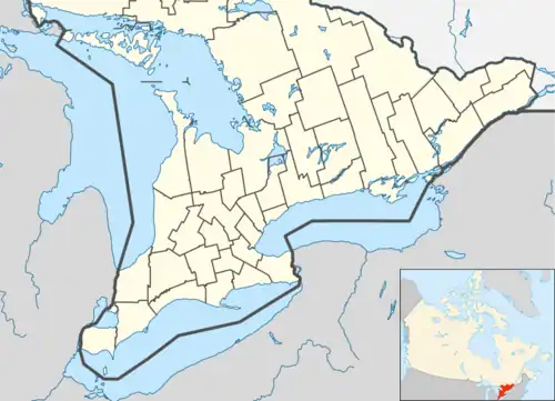 Zuber Corners  Zuber Corners | |
| Coordinates: 43°35′13″N 80°28′00″W / 43.58694°N 80.46667°W | |
| Country | Canada |
| Province | Ontario |
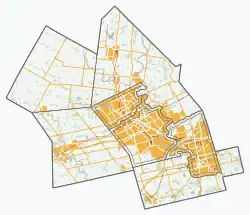
| Region | Waterloo |
| Township | Woolwich |
| Time zone | UTC-5 (Eastern (EST)) |
| • Summer (DST) | UTC-4 (EDT) |
| GNBC Code | FDGCP[1] |
Zuber Corners is an unincorporated rural community in Woolwich Township, Waterloo, Ontario, Canada.[1][2]
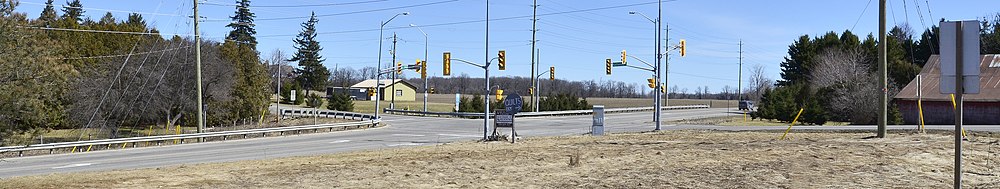
Zuber Corners is located at the crossroads of County Road 23 and Line 86. The Grand River is a short distance west.
History
The settlement is named for Jacob Zuber, who lived on the southeast corner of the settlement.[3]
In 1874, a stone school was built at Zuber Corners. It replaced a school in nearby West Montrose which was being flooded each year. The school closed in 1967.[4]
References
- 1 2 "Zuber Corners". Natural Resources Canada. October 6, 2016.
- ↑ "Woolwich". Statistics Canada. November 2, 2016.
- ↑ Connon, John (2006). The Early History of Elora, Ontario and Vicinity. Wilfrid Laurier University Press. p. 14. ISBN 9780889208575.
- ↑ "Zuber Corners". Region of Waterloo. Retrieved April 2, 2017.
| Cities | |
|---|---|
| Townships | |
| Unincorporated communities | |
| Regional services | |
| Overview topics | |
| |
This article is issued from Wikipedia. The text is licensed under Creative Commons - Attribution - Sharealike. Additional terms may apply for the media files.