Akmeniai | |
|---|---|
Village | |
 | |
 Akmeniai Location in Lithuania 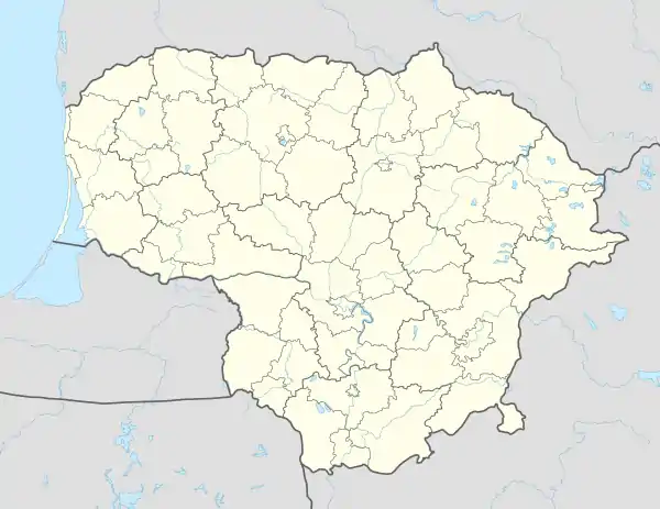 Akmeniai Akmeniai (Lithuania) | |
| Coordinates: 55°12′29″N 24°06′50″E / 55.20806°N 24.11389°E | |
| Country | |
| County | |
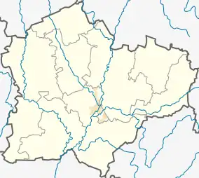
| Municipality | Kėdainiai district municipality |
| Eldership | Pelėdnagiai Eldership |
| Area | |
| • Total | 0.01 km2 (0.004 sq mi) |
| Population (2011) | |
| • Total | 9 |
| Time zone | UTC+2 (EET) |
| • Summer (DST) | UTC+3 (EEST) |
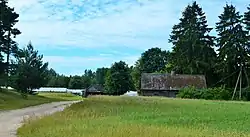
Akmeniai ('stony places', formerly Russian: Окмяны, Polish: Okmiany)[1] is a village in Kėdainiai district municipality, in Kaunas County, in central Lithuania. According to the 2011 census, the village had a population of 9 people.[2] It is located 2 kilometres (1.2 mi) from Beinaičiai, next to the Vilnius-Šiauliai railway and the Raistas Forest.
History
During the Soviet era, a part of the village was split and transferred to Jonava District Municipality (Akmeniai, Jonava).
Demography
|
| ||||||||||||||||||||||||||||||
| Source: 1902, 1923, 1959 & 1970, 1979, 1989, 2001, 2011 | |||||||||||||||||||||||||||||||
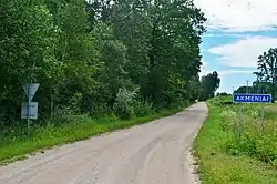
Akmeniai roadsign
References
- ↑ "Okmiany". Geographical Dictionary of the Kingdom of Poland (in Polish). 15 pt. 2. Warszawa: Kasa im. Józefa Mianowskiego. 1902. p. 403.
- ↑ "2011 census". Statistikos Departamentas (Lithuania). Retrieved August 21, 2017.
This article is issued from Wikipedia. The text is licensed under Creative Commons - Attribution - Sharealike. Additional terms may apply for the media files.