Pašiliai | |
|---|---|
Village | |
 | |
 Pašiliai Location in Lithuania 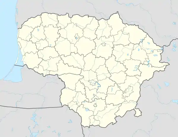 Pašiliai Pašiliai (Lithuania) | |
| Coordinates: 55°13′59″N 23°56′10″E / 55.23306°N 23.93611°E | |
| Country | |
| County | |
| Municipality | Kėdainiai district municipality |
| Eldership | Pelėdnagiai Eldership |
| Population (2011) | |
| • Total | 197 |
| Time zone | UTC+2 (EET) |
| • Summer (DST) | UTC+3 (EEST) |
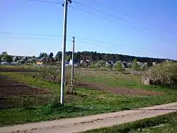
Pašiliai ('place by pinewood', formerly Russian: Подборкъ, Polish: Podborek)[1] is a village in Kėdainiai district municipality, in Kaunas County, in central Lithuania. According to the 2011 census, the village had a population of 197 people.[2] It is located 4 kilometres (2.5 mi) from Labūnava, 6 kilometres (3.7 mi) from Kėdainiai, on the left bank of the Nevėžis river, next to the Pašiliai Forest.
Pašiliai is a collective gardening area (gardening cooperatives "Vasara", "Kooperatyvas", "Pašilė", "Kristalas", "Obelėlė", "Kosmosas", "Progresas" are located here). There is a former cemetery place, a former folwark building with relics of a park.
History
In the beginning of the 20th century there was Pašiliai (Podborek) estate and folwark.[1] During the Soviet era it was transformed into Kėdainiai collective gardening area.
Demography
|
| ||||||||||||||||||||||||||||||
| Source: 1902, 1923, 1959 & 1970, 1979, 1989, 2001, 2011 | |||||||||||||||||||||||||||||||
Images
 Former Pašiliai manor
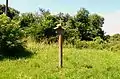 Former cemetery site
 A sign of "Vasara" ('summer') cooperative
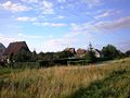 Pašiliai
References
- 1 2 "Podborek". Geographical Dictionary of the Kingdom of Poland (in Polish). 15 pt. 2. Warszawa: Kasa im. Józefa Mianowskiego. 1902. p. 466.
- ↑ "2011 census". Statistikos Departamentas (Lithuania). Retrieved August 21, 2017.