Al-Tuwayni
التوينة | |
|---|---|
Village | |
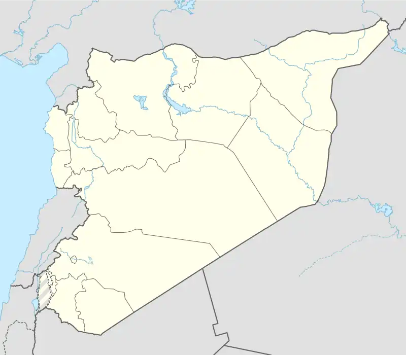 Al-Tuwayni Location in Syria | |
| Coordinates: 35°25′15″N 36°21′53″E / 35.42083°N 36.36472°E | |
| Country | |
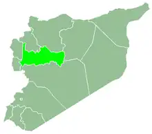
| Governorate | Hama |
| District | Suqaylabiyag |
| Subdistrict | Qalaat al-Madiq |
| Population (2004) | |
| • Total | 2,304 |
| Time zone | UTC+2 (EET) |
| • Summer (DST) | UTC+3 (EEST) |
| City Qrya Pcode | C3188 |
Al-Tuwayni (Arabic: التوينة, also spelled Tweini) is a village in northern Syria, located in the Qalaat al-Madiq Subdistrict of the Suqaylabiyah District in Hama Governorate. According to the Syria Central Bureau of Statistics (CBS), al-Tuwanyi had a population of 2,304 in the 2004 census.[1] Its inhabitants are predominantly Sunni Muslims.[2]
References
- ↑ "General Census of Population 2004". Retrieved 2014-07-10.
- ↑ Rockwood, Bill. "Interactive Map: A Valley at War". PBS Frontline.

This article is issued from Wikipedia. The text is licensed under Creative Commons - Attribution - Sharealike. Additional terms may apply for the media files.