Kafr Hud
كفر هود | |
|---|---|
Town | |
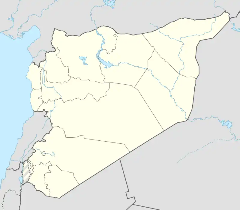 Kafr Hud Location in Syria | |
| Coordinates: 35°17′2″N 36°30′36″E / 35.28389°N 36.51000°E | |
| Country | |
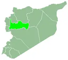
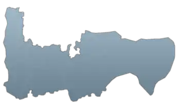
| Governorate | Hama |
| District | Mahardah |
| Subdistrict | Mahardah |
| Population (2004) | |
| • Total | 2,736 |
| • Ethnicities | Syrians |
| Time zone | UTC+2 (EET) |
| • Summer (DST) | UTC+3 (EEST) |
| City Qrya Pcode | C3455 |
Kafr Hud (Arabic: كفر هود) is a Syrian town located in the Mahardah Subdistrict of the Mahardah District in Hama Governorate. According to the Syria Central Bureau of Statistics (CBS), Kafr Hud had a population of 2,736 in the 2004 census.[1] Its inhabitants are predominantly Sunni Muslims.[2]
Etymology
The first word of Kafr Hud, which is Kafr, is a Syriac word for "farm" or "village". The second wordt 'Hud' is derived from another Syriac word, 'Hudtha' which refers to decoratation.
References
- ↑ "General Census of Population 2004". Retrieved 2014-07-10.
- ↑ Smith, in Robinson and Smith, 1841, vol 3, 2nd appendix, p. 178
Bibliography
This article is issued from Wikipedia. The text is licensed under Creative Commons - Attribution - Sharealike. Additional terms may apply for the media files.