Ambahita | |
|---|---|
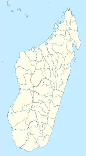 Ambahita Location in Madagascar | |
| Coordinates: 24°0′S 45°16′E / 24.000°S 45.267°E | |
| Country | |
| Region | Androy |
| District | Bekily |
| Elevation | 496 m (1,627 ft) |
| Population (2001)[2] | |
| • Total | 14,000 |
| Time zone | UTC3 (EAT) |
| Climate | Aw |
Ambahita is a town and commune in Madagascar. It belongs to the district of Bekily, which is a part of Androy Region. The population of the commune was estimated to be approximately 14,000 in 2001 commune census.[2]
Only primary schooling is available. The majority 90% of the population of the commune are farmers. The most important crops are rice and sugarcane, while other important agricultural products are peanuts and cassava. Industry and services provide employment for 8% and 2% of the population, respectively.[2]
References and notes
- ↑ Estimated based on DEM data from Shuttle Radar Topography Mission
- 1 2 3 "ILO census data". Cornell University. 2002. Retrieved 2008-05-02.
Capital: Ambovombe-Androy | ||
| Ambovombe (21) (604) | 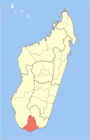 | |
| Bekily (20) (607) |
| |
| Beloha (8) (609) | ||
| Tsiombe (7) (621) |
| |
| proposed Antanimora Sud (9) (604) |
| |
4 districts; 56 communes | ||
24°0′S 45°16′E / 24.000°S 45.267°E
This article is issued from Wikipedia. The text is licensed under Creative Commons - Attribution - Sharealike. Additional terms may apply for the media files.