Beloha District
Beloha-sur-Androy | |
|---|---|
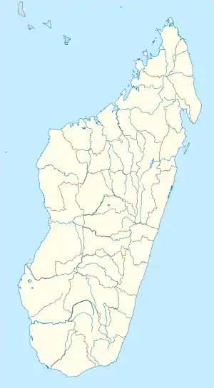  Beloha District Location in Madagascar | |
| Coordinates: 25°10′26″S 45°03′36″E / 25.17389°S 45.06000°E | |
| Country |  Madagascar Madagascar |
| Region | Androy |
| District | Beloha |
| Area | |
| • Total | 4,787 km2 (1,848 sq mi) |
| Elevation | 154 m (505 ft) |
| Population (2018) | |
| • Total | 121,671 |
| Time zone | UTC3 (EAT) |
| Postal code | 609 |
Beloha District is a district in the Androy Region, located in southeastern Madagascar.[2] Beloha is situated near the Cape Sainte Marie, the southernmost point of Madagascar.
Communes
The district is further divided into eight communes:[3]
References
- ↑ Estimated based on DEM data from Shuttle Radar Topography Mission
- ↑ "Madagascar". Retrieved 15 October 2014.
- ↑ DIFFICULTES ALIMENTAIRES DANS LES DISTRICTS DE BELOHA ET DE TSIHOMBE
Capital: Ambovombe-Androy | ||
| Ambovombe (21) (604) | 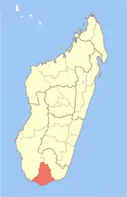 | |
| Bekily (20) (607) |
| |
| Beloha (8) (609) | ||
| Tsiombe (7) (621) |
| |
| proposed Antanimora Sud (9) (604) |
| |
4 districts; 56 communes | ||
This article is issued from Wikipedia. The text is licensed under Creative Commons - Attribution - Sharealike. Additional terms may apply for the media files.