Anguiano | |
|---|---|
-Panor%C3%A1mica._Barrio_Mediavilla.jpg.webp) 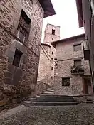 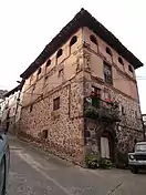 -Iglesia_de_San_Pedro_de_Cuevas_(sXV-XVI)-Barrio_Las_Cuevas.jpg.webp) 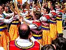 Location of Anguiano in La Rioja | |
 Seal | |
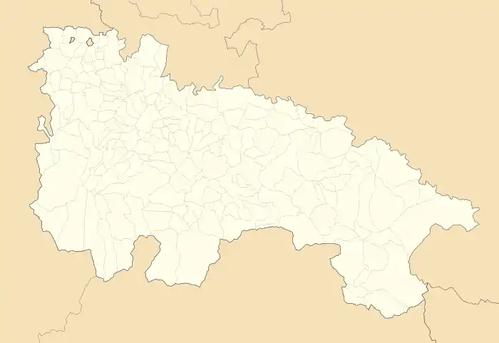 Anguiano Location within La Rioja.  Anguiano Anguiano (Spain) | |
| Coordinates: 42°15′40″N 2°45′50″W / 42.26111°N 2.76389°W | |
| Country | |
| Autonomous community | |
| Comarca | Anguiano |
| Area | |
| • Total | 90.89 km2 (35.09 sq mi) |
| Elevation | 663 m (2,175 ft) |
| Population (2018)[1] | |
| • Total | 509 |
| Demonyms | Zarrio, Zarria |
| Time zone | UTC+1 (CET) |
| • Summer (DST) | UTC+2 (CET) |
| Website | Official website |
_-_Municipality_Map.svg.png.webp)
Municipality of Anguiano
Anguiano (Spanish: Anguiano) is a small town in the province of La Rioja, Spain. It is located near Nájera and has a population of about 546 people (2006).
Anguiano is famous for its caparrones, red beans that are usually eaten in a stew with chorizo, and a yearly festival is held honoring these beans.[2] The town is known as well for its traditional dance on stilts.[3]
Places of interest
See also
References
- ↑ Municipal Register of Spain 2018. National Statistics Institute.
- ↑ "Festival de la alubia de Anguiano - Cocina Tradicional Riojana". Archived from the original on 2012-03-28. Retrieved 2011-03-02.
- ↑ Stilt dance in Anguiano
External links
Wikimedia Commons has media related to Anguiano.
This article is issued from Wikipedia. The text is licensed under Creative Commons - Attribution - Sharealike. Additional terms may apply for the media files.