Cornago | |
|---|---|
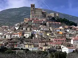 Skyline of Cornago | |
 Flag  Coat of arms | |
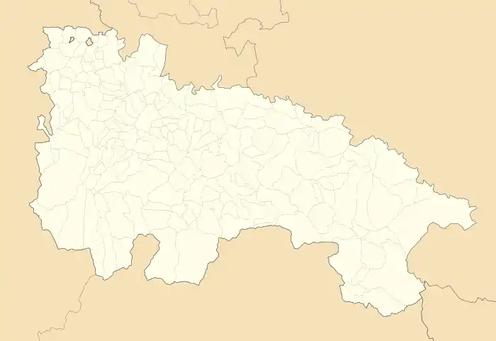 Cornago Location of Cornago within La Rioja  Cornago Cornago (Spain) | |
| Coordinates: 42°04′N 2°06′W / 42.067°N 2.100°W | |
| Country | |
| Autonomous community | |
| Comarca | Cervera del Río Alhama |
| Government | |
| • Mayor | Luis Manuel Martínez Zapater (PSOE) |
| Area | |
| • Total | 90.99 km2 (35.13 sq mi) |
| Elevation | 750 m (2,460 ft) |
| Population (2018) | |
| • Total | 319 |
| Postal code | 26526 |
| Website | www |
Cornago is a village in the province and autonomous community of La Rioja, Spain. The municipality covers an area of 8.54 square kilometres (3.30 sq mi) and as of 2011 had a population of 426 people.[1]
Demographics
Population centres
- Cornago
- Valdeperillo
Main sights
Religious buildings
- Church of Saint Peter
- Monastery of Our Lady of Campolapuente
- Hermitage of Saint Catherine
- Hermitage of Saint Anne
- Hermitage of Saint Blaise, former synagogue
- Hermitage of Saint Roch
- Hermitage of Saint Sebastian
- Hermitage of Saint Martin
Civil buildings
- Castle of Cornago
- Palace of the Baroja family
- Monuments of Cornago
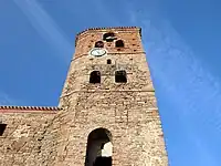 Church of Saint Peter
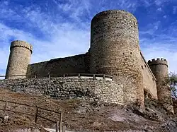 Castle
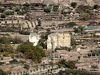 Remains of the monastery of Our Lady of Campolapuente
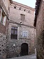 Palace of the Baroja family
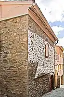 Ermita de Santa Catalina
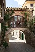 Ermita de la Piedad
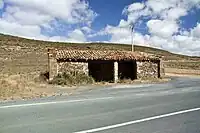 Ermita de Santa Ana
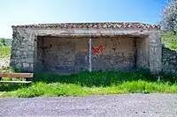 Hermitage of Saint Roch
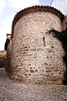 Hermitage of Saint Blaise
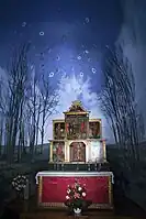 Hermitage of Saint Blaise
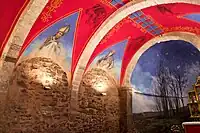 Hermitage of Saint Blaise
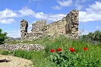 Hermitage of Saint Martin
References
- ↑ "La Rioja: Población por municipios y sexo:Cifras oficiales de población resultantes de la revisión del Padrón municipal a 1 de enero de 2011". Instituto Nacional de Estadística. Archived from the original on 21 May 2012. Retrieved 27 May 2012.
External links
Wikimedia Commons has media related to Cornago.
This article is issued from Wikipedia. The text is licensed under Creative Commons - Attribution - Sharealike. Additional terms may apply for the media files.