Ari, Indiana | |
|---|---|
 | |
 Ari  Ari | |
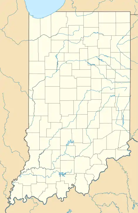
| Coordinates: 41°15′49″N 85°14′58″W / 41.26361°N 85.24944°W | |
| Country | United States |
| State | Indiana |
| County | Allen, Noble |
| Township | Eel River, Swan |
| Elevation | 876 ft (267 m) |
| Time zone | UTC-5 (Eastern (EST)) |
| • Summer (DST) | UTC-4 (EDT) |
| ZIP code | 46723 |
| Area code | 260 |
| FIPS code | 18-02062[2] |
| GNIS feature ID | 450509[1] |
Ari is an unincorporated community in Allen and Noble counties, in the U.S. state of Indiana.[1]
History
A post office was established at Ari in 1872,[3] and remained in operation until it was discontinued in 1914.[4]
References
- 1 2 3 U.S. Geological Survey Geographic Names Information System: Ari, Indiana
- ↑ "U.S. Census website". United States Census Bureau. Retrieved January 31, 2008.
- ↑ Baker, Ronald L. (October 1995). From Needmore to Prosperity: Hoosier Place Names in Folklore and History. Indiana University Press. p. 53. ISBN 978-0-253-32866-3.
was established in Noble County on January 29, 1872...
- ↑ "Allen County". Jim Forte Postal History. Retrieved August 26, 2014.
Municipalities and communities of Allen County, Indiana, United States | ||
|---|---|---|
| Cities | Map of Indiana highlighting Allen County | |
| Towns | ||
| Townships | ||
| CDPs | ||
| Other communities | ||
| Footnotes | ‡This populated place also has portions in an adjacent county or counties | |
Municipalities and communities of Noble County, Indiana, United States | ||
|---|---|---|
| Cities | Map of Indiana highlighting Noble County | |
| Towns | ||
| Townships | ||
| CDPs | ||
| Other communities | ||
| Footnotes | ‡This populated place also has portions in an adjacent county or counties | |
This article is issued from Wikipedia. The text is licensed under Creative Commons - Attribution - Sharealike. Additional terms may apply for the media files.