Aruküla | |
|---|---|
 Aruküla old culture centre | |
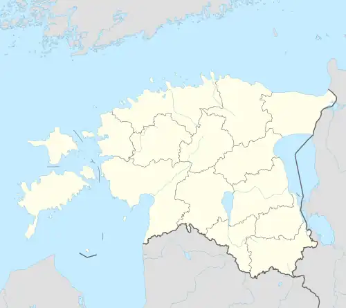 Aruküla Location in Estonia | |
| Coordinates: 59°21′55″N 25°04′48″E / 59.36528°N 25.08000°E | |
| Country | |
| County | |
| Municipality | |
| First appeared on map | 1291 |
| Area | |
| • Total | 3.56 km2 (1.37 sq mi) |
| Population (01.01.2020[1]) | |
| • Total | 2,113 |
| • Density | 590/km2 (1,500/sq mi) |
| Time zone | UTC+2 (EET) |
| • Summer (DST) | UTC+3 (EEST) |
Aruküla is a small borough (Estonian: alevik) in Harju County, northern Estonia. It is the administrative centre of Raasiku Parish. Aruküla had a population of 2,113 on 1 January 2020.[1] Aruküla has a station on the Elron's eastern route.
Gallery
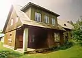
- Aruküla old culture house
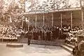 Aruküla song festival grounds in the 1960s.
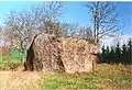 Aruküla glacial erratic
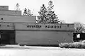 Former centre of Aruküla kolkhoz.
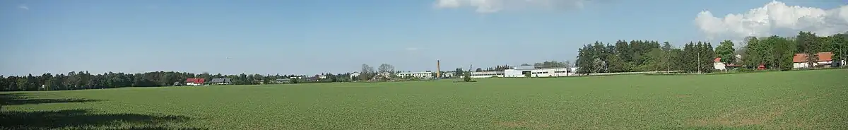
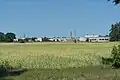 View to Aruküla
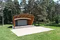 Aruküla song court
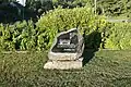 Stone, indicating Aruküla first mention
See also
References
- 1 2 "Raasiku vallast" (in Estonian). Raasiku vald. Retrieved 24 January 2013.
External links
Wikivoyage has a travel guide for Aruküla.
- Raasiku Parish (in Estonian)
- Aruküla Basic School (in Estonian)
- Aruküla Cultural company (in Estonian)
- Aruküla SK Handball Club (in Estonian)
| Small boroughs |  | |
|---|---|---|
| Villages | ||
This article is issued from Wikipedia. The text is licensed under Creative Commons - Attribution - Sharealike. Additional terms may apply for the media files.