Balayya Sastri Layout | |
|---|---|
Neighbourhood | |
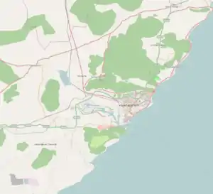 Balayya Sastri Layout Location in Visakhapatnam | |
| Coordinates: 17°44′22″N 83°18′28″E / 17.739369°N 83.307650°E | |
| Country | |
| State | Andhra Pradesh |
| District | Visakhapatnam |
| Government | |
| • Body | Greater Visakhapatnam Municipal Corporation |
| Languages | |
| • Official | Telugu |
| Time zone | UTC+5:30 (IST) |
| PIN | 530013 |
| Vehicle registration | AP 32 and AP 33 |
Balayya Sastri Layout is a neighbourhood of Visakhapatnam, Andhra Pradesh, India.
Transport
This area connected with all parts of the city.
References
This article is issued from Wikipedia. The text is licensed under Creative Commons - Attribution - Sharealike. Additional terms may apply for the media files.