Kirlampudi Layout | |
|---|---|
Neighbourhood | |
 Road at Kirlampudi Layout | |
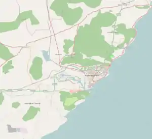 Kirlampudi Layout Location in Visakhapatnam | |
| Coordinates: 17°43′14″N 83°19′47″E / 17.720423°N 83.329709°E | |
| Country | |
| State | Andhra Pradesh |
| District | Visakhapatnam |
| Government | |
| • Body | Greater Visakhapatnam Municipal Corporation |
| Languages | |
| • Official | Telugu |
| Time zone | UTC+5:30 (IST) |
| PIN | 530017 |
| Vehicle registration | AP-31 |
Kirlampudi Layout is a neighbourhood of the city of Visakhapatnam, state of Andhra Pradesh, India.[1]
About
It is one of the important neighbourhoods in Visakhapatnam and is one of the more affluent areas in the city.[2]
Transport
It is well connected with Gajuwaka, NAD X Road, Malkapuram, Dwaraka Nagar and Visakhapatnam Steel Plant.
- APSRTC routes
| Route Number | Start | End | Via |
|---|---|---|---|
| 14 | Venkojipalem | Old Head Post Office | Appughar, Chinnawaltair, Siripuram, Jagadamba Centre, Town Kotharoad |
| 210 | Ravindra Nagar | Gantyada HB Colony | Hanumanthuwaka, Appughar, MVP Colony, Pedawaltair, Siripuram, RK Beach, Jagadamba Centre, Town Kotharoad, Convent, Scindia, Malkapuram, New Gajuwaka, Pedagantyada |
References
- ↑ "Please spare Beach Road, cry dwellers | Visakhapatnam News". Times of India. Retrieved 27 September 2017.
- ↑ "Greenary [sic] is the forte of the residents of Kirlampudi Layout". deccanchronicle.com. Retrieved 8 September 2020.
This article is issued from Wikipedia. The text is licensed under Creative Commons - Attribution - Sharealike. Additional terms may apply for the media files.