Bent Tree Harbor, Missouri | |
|---|---|
 Bent Tree Harbor  Bent Tree Harbor | |
| Coordinates: 38°14′53″N 93°29′42″W / 38.24806°N 93.49500°W | |
| Country | United States |
| State | Missouri |
| County | Benton |
| Township | Tom |
| Area | |
| • Total | 2.26 sq mi (5.86 km2) |
| • Land | 2.08 sq mi (5.38 km2) |
| • Water | 0.19 sq mi (0.48 km2) |
| Elevation | 800 ft (200 m) |
| Population (2020) | |
| • Total | 283 |
| • Density | 136.32/sq mi (52.63/km2) |
| Time zone | UTC-6 (Central (CST)) |
| • Summer (DST) | UTC-5 (CDT) |
| ZIP Code | 65355 (Warsaw) |
| Area code | 660 |
| FIPS code | 29-04864 |
| GNIS feature ID | 2806383[2] |
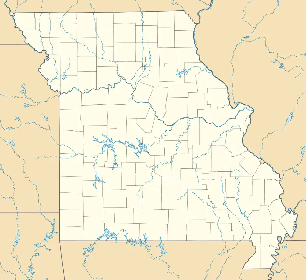
Bent Tree Harbor is an unincorporated community and census-designated place (CDP) in Benton County, Missouri, United States. It is in the western part of the county, on the north side of State Highway Z, 6 miles (10 km) west of Warsaw, the county seat. It is bordered to the northwest and northeast by arms of Harry S. Truman Reservoir on the South Grand River, a tributary of the Osage River.
Bent Tree Harbor was first listed as a CDP prior to the 2020 census.[2]
Demographics
| Census | Pop. | Note | %± |
|---|---|---|---|
| 2020 | 283 | — | |
| U.S. Decennial Census[3] | |||
References
- ↑ "ArcGIS REST Services Directory". United States Census Bureau. Retrieved August 28, 2022.
- 1 2 3 U.S. Geological Survey Geographic Names Information System: Bent Tree Harbor, Missouri
- ↑ "Census of Population and Housing". Census.gov. Retrieved June 4, 2016.
Municipalities and communities of Benton County, Missouri, United States | ||
|---|---|---|
| Cities | 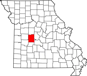 Map of Missouri highlighting Benton County | |
| Village | ||
| Townships | ||
| CDPs | ||
| Unincorporated communities | ||
| Former settlements | ||
| Footnotes | ‡This populated place also has portions in an adjacent county or counties | |
This article is issued from Wikipedia. The text is licensed under Creative Commons - Attribution - Sharealike. Additional terms may apply for the media files.