Brant | |
|---|---|
.jpg.webp) Brant, circa 1906 | |
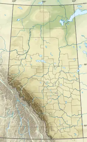 Brant Location of Brant 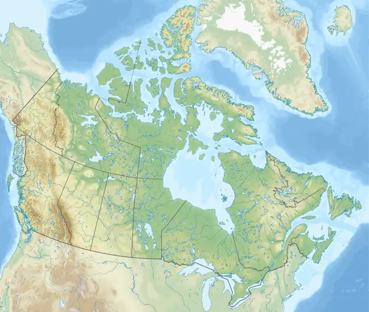 Brant Brant (Canada) | |
| Coordinates: 50°31′01″N 113°30′42″W / 50.51694°N 113.51167°W | |
| Country | Canada |
| Province | Alberta |
| Region | Southern Alberta |
| Census division | 5 |
| Municipal district | Vulcan County |
| Government | |
| • Type | Unincorporated |
| • Governing body | Vulcan County Council |
| Population (2007)[1] | |
| • Total | 78 |
| Time zone | UTC−07:00 (MST) |
| • Summer (DST) | UTC−06:00 (MDT) |
| Area code(s) | 403, 587, 825 |
Brant is a hamlet in southern Alberta, Canada within Vulcan County.[2] It is located 6 kilometres (3.7 mi) south of Highway 23, approximately 71 kilometres (44 mi) southeast of Calgary. It is named after the number of Brant in the area.[3][4] Brant is home to a grain elevator[5] and a Christian School.[6]
.jpg.webp)
Grain elevator
Demographics
The population of Brant according to the 2007 municipal census conducted by Vulcan County is 78.[1]
See also
References
- 1 2 "Alberta Population Summary: Alberta's Hamlets Alphabetically, 2010" (PDF). Alberta Population. Archived from the original (PDF) on December 11, 2021. Retrieved September 25, 2021.
- ↑ "Specialized and Rural Municipalities and Their Communities" (PDF). Alberta Municipal Affairs. January 12, 2022. Retrieved January 21, 2022.
- ↑ Fencelines and Furrows History Book Society (1971). Fencelines and Furrows. p. 33. Archived from the original on September 24, 2015. Retrieved August 6, 2013.
- ↑ Place-names of Alberta. Ottawa: Geographic Board of Canada. 1928. p. 24.
- ↑ "Elevator at Brant Alberta". March 6, 2018.
- ↑ https://www.brantchristianschool.ca/
This article is issued from Wikipedia. The text is licensed under Creative Commons - Attribution - Sharealike. Additional terms may apply for the media files.