| Brave Mountain | |
|---|---|
| Highest point | |
| Elevation | 1,300 m (4,300 ft) |
| Prominence | 1,270 m (4,170 ft) |
| Coordinates | 57°52′53″N 62°01′35″W / 57.88139°N 62.02639°W |
| Geography | |
| Location | Labrador, Canada |
| Parent range | Kaumajet Mountains |
| Topo map | NTS 14E16 Finger Hill |
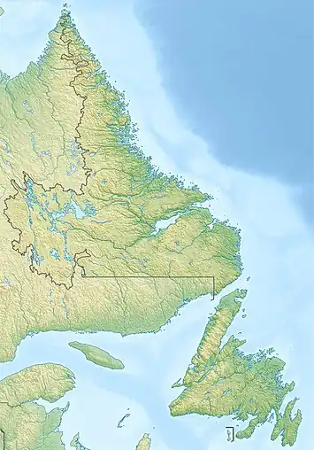
Brave Mountain is a steep mountain, located less than 3 km (2 mi) southwest of Bishop's Mitre in northern Labrador, Canada. It is the highest peak of the Kaumajet Mountains, with an elevation of 1,300 m (4,265 ft),[1] as well as the highest island peak on the Atlantic coast of North America.
References
- ↑ "Brave Mountain". Bivouac.com.
This article is issued from Wikipedia. The text is licensed under Creative Commons - Attribution - Sharealike. Additional terms may apply for the media files.