| Mount Biederbick | |
|---|---|
 Mount Biederbick | |
| Highest point | |
| Elevation | approx. 1,542 m (5,059 ft)[1] |
| Coordinates | 81°33′N 74°28′W / 81.550°N 74.467°W[1] |
| Geography | |
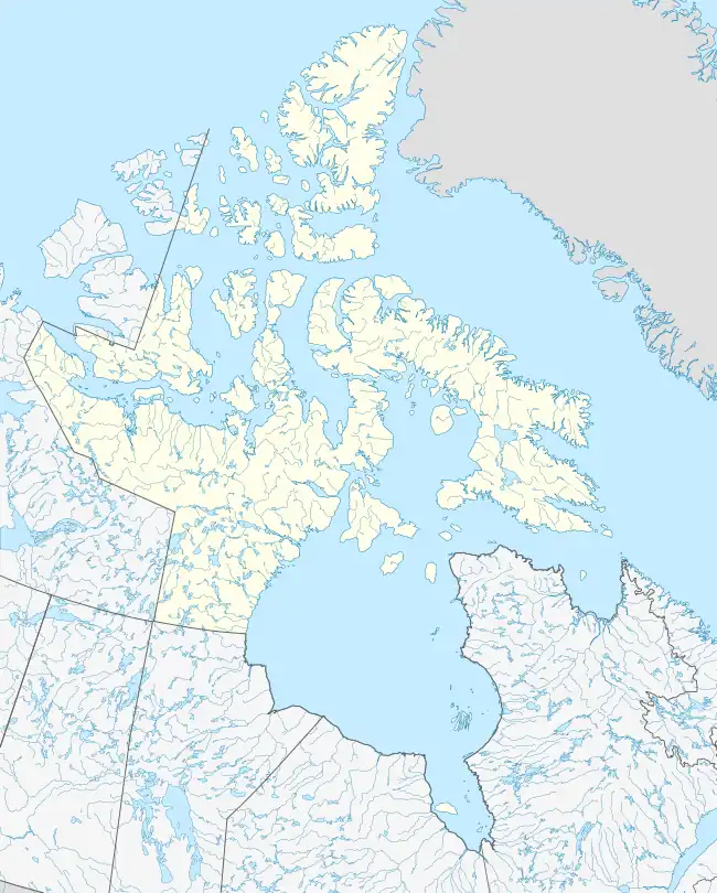
| Location | Ellesmere Island, Nunavut, Canada |
| Parent range | Conger Range |
| Topo map | NTS 340D10 Ekblaw Lake |
Mount Biederbick is the highest mountain of the Conger Range on Ellesmere Island, Nunavut, Canada. It lies in Quttinirpaaq National Park.
References
- 1 2 "Mount Biederbick". Bivouac.com. Retrieved 2010-03-03.
This article is issued from Wikipedia. The text is licensed under Creative Commons - Attribution - Sharealike. Additional terms may apply for the media files.