Breklenkamp | |
|---|---|
Hamlet | |
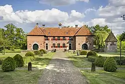 Huis te Brecklenkamp | |
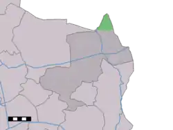 Breklenkamp in the municipality of Dinkelland. | |
 Breklenkamp Location in the Netherlands 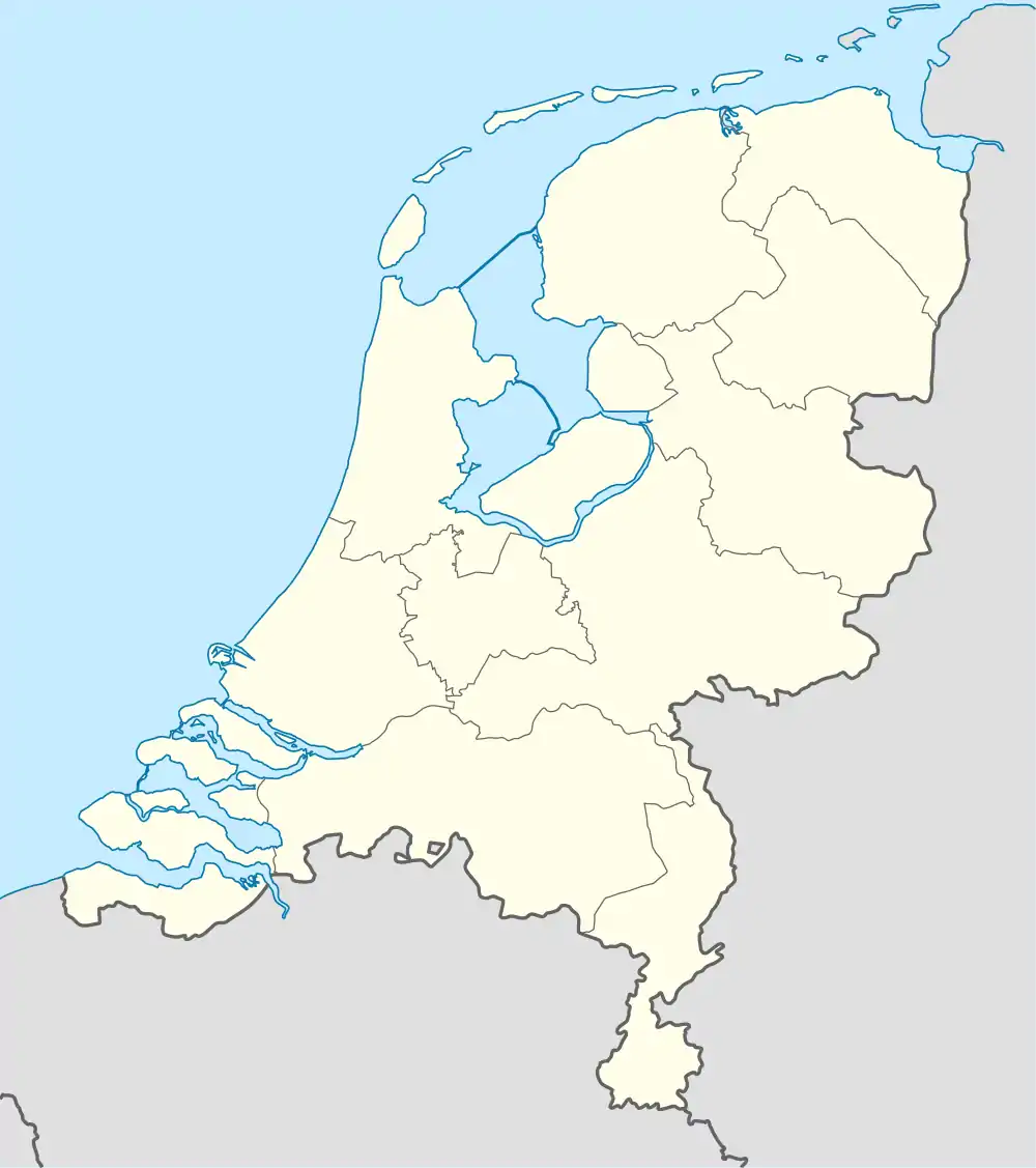 Breklenkamp Breklenkamp (Netherlands) | |
| Coordinates: 52°27′7″N 6°59′54″E / 52.45194°N 6.99833°E | |
| Country | Netherlands |
| Province | Overijssel |
| Municipality | Dinkelland |
| Area | |
| • Total | 8.56 km2 (3.31 sq mi) |
| Elevation | 19 m (62 ft) |
| Population (2021)[1] | |
| • Total | 185 |
| • Density | 22/km2 (56/sq mi) |
| Time zone | UTC+1 (CET) |
| • Summer (DST) | UTC+2 (CEST) |
| Postal code | 7635[1] |
| Dialing code | 0541 |
Breklenkamp is a hamlet in the Dutch province of Overijssel. It is a part of the municipality of Dinkelland, and lies about 16 km north of Oldenzaal.
It was first mentioned in the late-10th century as Brakkinghem, and means "settlement of Brakko (person)".[3] In 1840, it was home to 257 people.[4]
Huis te Brecklenkamp is a havezate which was built in the 1630s. The current layout dates from 1844. In 1990, it became a youth hostel, but has become private property in 1990.[5]
References
- 1 2 3 "Kerncijfers wijken en buurten 2021". Central Bureau of Statistics. Retrieved 15 March 2022.
- ↑ "Postcodetool for 7635LA". Actueel Hoogtebestand Nederland (in Dutch). Het Waterschapshuis. Retrieved 15 March 2022.
- ↑ "Breklenkamp - (geografische naam)". Etymologiebank (in Dutch). Retrieved 15 March 2022.
- ↑ "Breklenkamp". Plaatsengids (in Dutch). Retrieved 15 March 2022.
- ↑ "Brecklenkamp". Dutch Monument Register (in Dutch). Retrieved 15 March 2022.
Wikimedia Commons has media related to Breklenkamp.
This article is issued from Wikipedia. The text is licensed under Creative Commons - Attribution - Sharealike. Additional terms may apply for the media files.