Deurningen | |
|---|---|
Village | |
 | |
| Nickname: Plagnstekkers | |
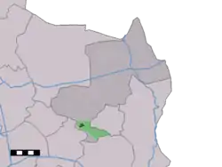 The village centre (dark green) and the statistical district (light green) of Deurningen in the municipality of Dinkelland. | |
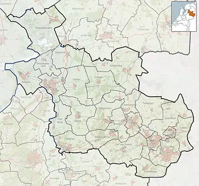 Deurningen Location in the Netherlands 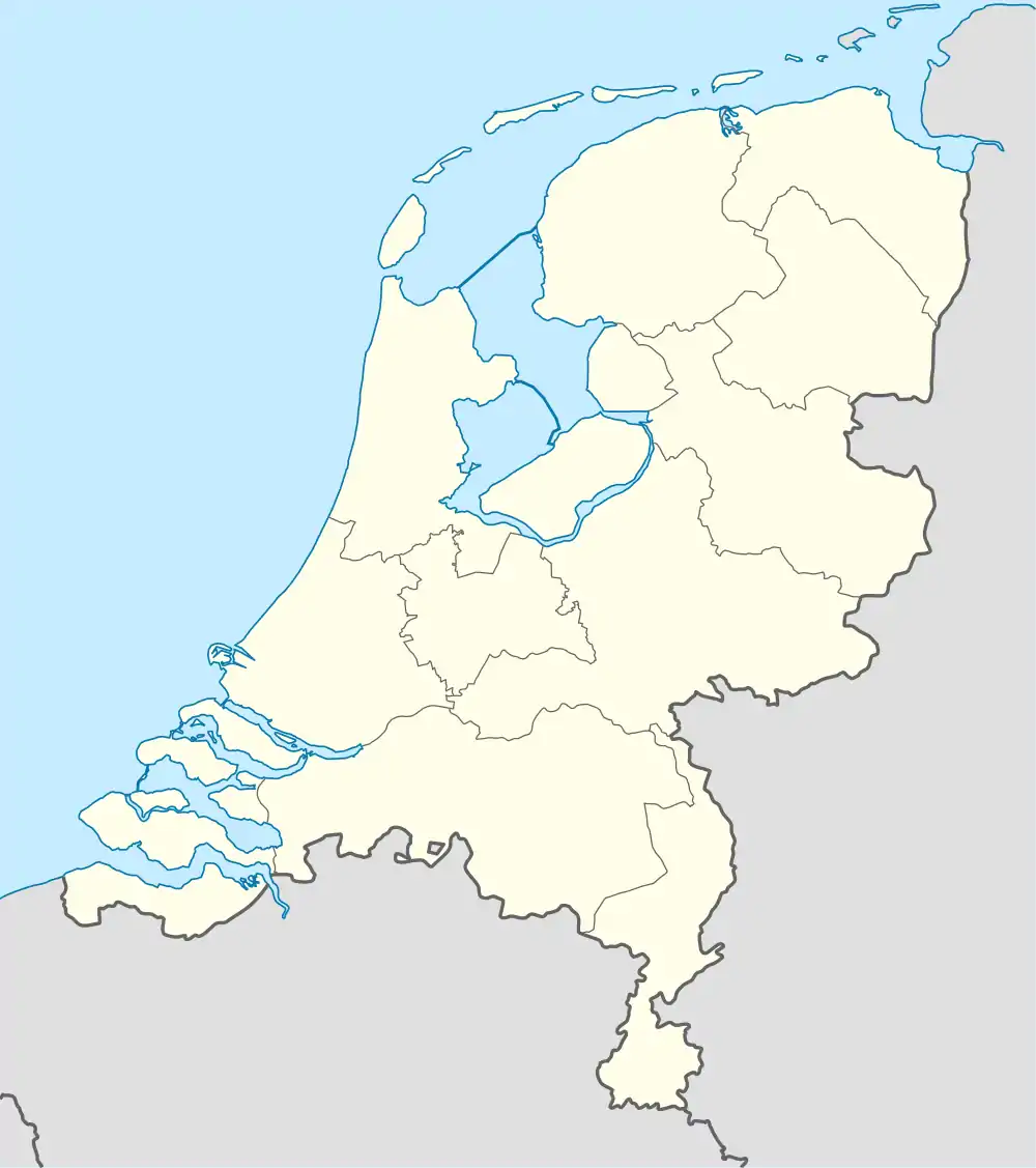 Deurningen Deurningen (Netherlands) | |
| Coordinates: 52°18′24″N 6°50′22″E / 52.30667°N 6.83944°E | |
| Country | Netherlands |
| Province | Overijssel |
| Municipality | Dinkelland |
| Area | |
| • Total | 18.66 km2 (7.20 sq mi) |
| Elevation | 19 m (62 ft) |
| Population (2021)[1] | |
| • Total | 2,015 |
| • Density | 110/km2 (280/sq mi) |
| Demonym | Deurningers |
| Time zone | UTC+1 (CET) |
| • Summer (DST) | UTC+2 (CEST) |
| Postal code | 7561[1] |
| Dialing code | 074 |
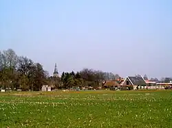
Deurningen is a village in the Dutch province of Overijssel. It is a part of the municipality of Dinkelland, and lies about 5 km northeast of Hengelo.
Overview
It was first mentioned in 1295 as Thornengen. The etymology is unclear.[3] In 1787 a church was built,[4] and the village developed around the church. The current church was completed in 1912.[5] In 1840, it was home to 719 people.[4] In 2001, 97 houses in Deurningen were transferred to the municipality of Oldenzaal.[4]
Gallery
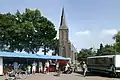 Market in Deurningen
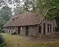 Farm "Oosterhof" in Deurningen
References
- 1 2 3 "Kerncijfers wijken en buurten 2021". Central Bureau of Statistics. Retrieved 15 March 2022.
- ↑ "Postcodetool for 7561AA". Actueel Hoogtebestand Nederland (in Dutch). Het Waterschapshuis. Retrieved 15 March 2022.
- ↑ "Deurningen - (geografische naam)". Etymologiebank (in Dutch). Retrieved 15 March 2022.
- 1 2 3 "Deurningen". Plaatsengids (in Dutch). Retrieved 15 March 2022.
- ↑ Ronald Stenvert & Jan ten Hove (1998). "Duerningen" (in Dutch). Zwolle: Waanders. ISBN 90 400 9200 1. Retrieved 15 March 2022.
This article is issued from Wikipedia. The text is licensed under Creative Commons - Attribution - Sharealike. Additional terms may apply for the media files.