Brossay | |
|---|---|
Location of Brossay | |
 Brossay 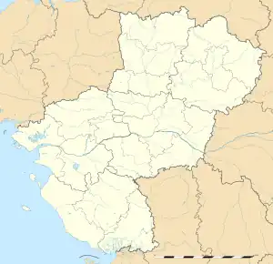 Brossay | |
| Coordinates: 47°09′54″N 0°12′37″W / 47.165°N 0.2103°W | |
| Country | France |
| Region | Pays de la Loire |
| Department | Maine-et-Loire |
| Arrondissement | Saumur |
| Canton | Doué-en-Anjou |
| Intercommunality | CA Saumur Val de Loire |
| Government | |
| • Mayor (2020–2026) | Gilles Roussillat[1] |
| Area 1 | 4.79 km2 (1.85 sq mi) |
| Population | 344 |
| • Density | 72/km2 (190/sq mi) |
| Time zone | UTC+01:00 (CET) |
| • Summer (DST) | UTC+02:00 (CEST) |
| INSEE/Postal code | 49053 /49700 |
| Elevation | 55–94 m (180–308 ft) (avg. 83 m or 272 ft) |
| 1 French Land Register data, which excludes lakes, ponds, glaciers > 1 km2 (0.386 sq mi or 247 acres) and river estuaries. | |
Brossay (French pronunciation: [bʁɔsɛ] ⓘ) is a commune in the Maine-et-Loire department in western France.
Population
| Year | Pop. | ±% p.a. |
|---|---|---|
| 1968 | 289 | — |
| 1975 | 337 | +2.22% |
| 1982 | 280 | −2.61% |
| 1990 | 300 | +0.87% |
| 1999 | 243 | −2.31% |
| 2007 | 299 | +2.63% |
| 2012 | 354 | +3.43% |
| 2017 | 364 | +0.56% |
| Source: INSEE[3] | ||
See also
References
- ↑ "Répertoire national des élus: les maires". data.gouv.fr, Plateforme ouverte des données publiques françaises (in French). 2 December 2020.
- ↑ "Populations légales 2021". The National Institute of Statistics and Economic Studies. 28 December 2023.
- ↑ Population en historique depuis 1968, INSEE
Wikimedia Commons has media related to Brossay.
This article is issued from Wikipedia. The text is licensed under Creative Commons - Attribution - Sharealike. Additional terms may apply for the media files.