Caltrano | |
|---|---|
| Comune di Caltrano | |
Location of Caltrano | |
 Caltrano Location of Caltrano in Italy 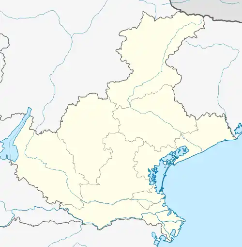 Caltrano Caltrano (Veneto) | |
| Coordinates: 45°46′N 11°28′E / 45.767°N 11.467°E | |
| Country | Italy |
| Region | Veneto |
| Province | Vicenza (VI) |
| Frazioni | Camisino, San Donà, Tezze, Campora, Maglio |
| Government | |
| • Mayor | Marco Sandonà |
| Area | |
| • Total | 22 km2 (8 sq mi) |
| Elevation | 260 m (850 ft) |
| Population (30 April 2017)[2] | |
| • Total | 2,523 |
| • Density | 110/km2 (300/sq mi) |
| Demonym | Caltranesi |
| Time zone | UTC+1 (CET) |
| • Summer (DST) | UTC+2 (CEST) |
| Postal code | 36030 |
| Dialing code | 0445 |
| Patron saint | San Biagio |
| Saint day | 3 February - 21 November |
| Website | Official website |
Caltrano is a town in the province of Vicenza, Veneto, northern Italy. It is east of SP351 provincial road.
References
- ↑ "Superficie di Comuni Province e Regioni italiane al 9 ottobre 2011". Italian National Institute of Statistics. Retrieved 16 March 2019.
- ↑ All demographics and other statistics from the Italian statistical institute (Istat)
External links
This article is issued from Wikipedia. The text is licensed under Creative Commons - Attribution - Sharealike. Additional terms may apply for the media files.