Chad, Kentucky | |
|---|---|
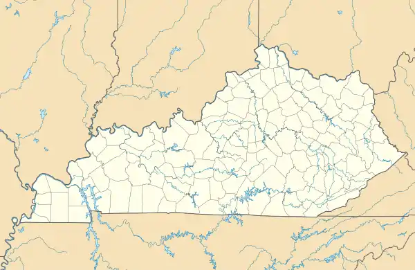 Chad Location in Kentucky  Chad Location in the United States | |
| Coordinates: 36°58′11.33″N 83°1′21.59″W / 36.9698139°N 83.0226639°W | |
| Country | United States |
| State | Kentucky |
| County | Harlan |
| Elevation | 1,470 ft (448 m) |
| Time zone | UTC-5 (Eastern (EST)) |
| • Summer (DST) | UTC-4 (EDT) |
| Area code | 606 |
| GNIS feature ID | 511306[1] |
Chad is an unincorporated community in Harlan County, Kentucky, United States. Chad is located on U.S. Route 119 and the Poor Fork about 2 miles (3.2 km) below the city of Cumberland, Kentucky.[2] Chad had a post office from 1924 to 1932.[3]
References
- ↑ "Chad". Geographic Names Information System. United States Geological Survey, United States Department of the Interior.
- ↑ "Harlan.pdf" (PDF). Kentucky.gov.
- ↑ Rennick, Robert M. "Harlan County - Post Offices". ScholarWorks Morehead State.
Municipalities and communities of Harlan County, Kentucky, United States | ||
|---|---|---|
| Cities | 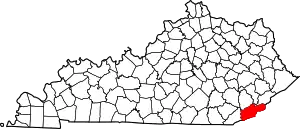 Location of Harlan County, Kentucky | |
| CDPs | ||
| Other unincorporated communities |
| |
| Ghost towns | ||
This article is issued from Wikipedia. The text is licensed under Creative Commons - Attribution - Sharealike. Additional terms may apply for the media files.