Dentergem | |
|---|---|
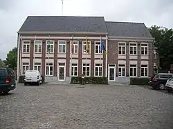 Dentergem town hall | |
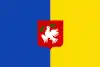 Flag  Coat of arms | |
Location of Dentergem | |
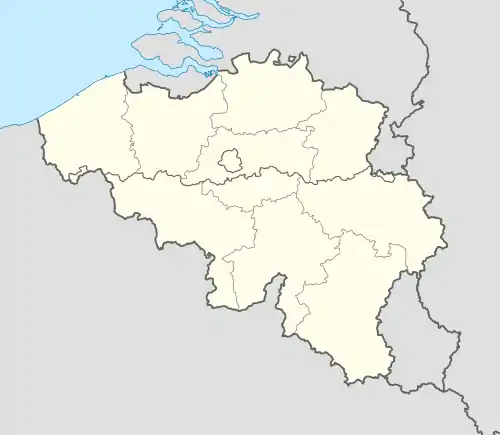 Dentergem Location in Belgium
Location of Dentergem in West Flanders 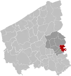 | |
| Coordinates: 50°57′N 03°25′E / 50.950°N 3.417°E | |
| Country | |
| Community | Flemish Community |
| Region | Flemish Region |
| Province | West Flanders |
| Arrondissement | Tielt |
| Government | |
| • Mayor | Koenraad Degroote |
| • Governing party/ies | Eendracht |
| Area | |
| • Total | 26.09 km2 (10.07 sq mi) |
| Population (2018-01-01)[1] | |
| • Total | 8,484 |
| • Density | 330/km2 (840/sq mi) |
| Postal codes | 8720 |
| NIS code | 37002 |
| Area codes | 051 - 056 - 09 |
| Website | www.dentergem.be |
Dentergem (Dutch pronunciation: [ˈdɛntərɣɛm] ⓘ) is a municipality, located in the Belgian province of West Flanders. The municipality comprises the towns of Dentergem proper, Markegem, Oeselgem and Wakken. On January 1, 2006, Dentergem had a total population of 8,188. The total area is 25.94 km2 which gives a population density of 316 inhabitants per km2.
References
- ↑ "Wettelijke Bevolking per gemeente op 1 januari 2018". Statbel. Retrieved 9 March 2019.
External links
 Media related to Dentergem at Wikimedia Commons
- Official website - Available only in Dutch
| Bruges | 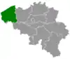 | |
|---|---|---|
| Diksmuide | ||
| Kortrijk | ||
| Ostend | ||
| Roeselare | ||
| Tielt | ||
| Veurne | ||
| Ypres | ||
| ||
This article is issued from Wikipedia. The text is licensed under Creative Commons - Attribution - Sharealike. Additional terms may apply for the media files.