Zuienkerke | |
|---|---|
 | |
 Flag  Coat of arms | |
Location of Zuienkerke | |
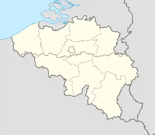 Zuienkerke Location in Belgium
Location of Zuienkerke in West Flanders 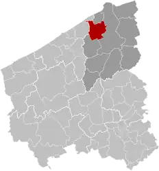 | |
| Coordinates: 51°15′N 03°09′E / 51.250°N 3.150°E | |
| Country | |
| Community | Flemish Community |
| Region | Flemish Region |
| Province | West Flanders |
| Arrondissement | Bruges |
| Government | |
| • Mayor | Alain De Vlieghe |
| • Governing party/ies | LB |
| Area | |
| • Total | 48.9 km2 (18.9 sq mi) |
| Population (2018-01-01)[1] | |
| • Total | 2,730 |
| • Density | 56/km2 (140/sq mi) |
| Postal codes | 8377 |
| NIS code | 31042 |
| Area codes | 050 |
| Website | www.zuienkerke.be |
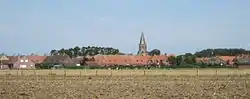
Zuienkerke (Dutch pronunciation: [ˈzœyə(ŋ)kɛrkə]; West Flemish: Zuunkerke; French: Zuyenkerque) is a municipality located in the Belgian province of West Flanders. The municipality comprises the towns of Houtave, Meetkerke, Nieuwmunster and Zuienkerke proper. On January 1, 2006, Zuienkerke had a total population of 2,776. The total area is 48.86 km2 which gives a population density of 57 inhabitants per km2.
References
- ↑ "Wettelijke Bevolking per gemeente op 1 januari 2018". Statbel. Retrieved 9 March 2019.
External links
 Media related to Zuienkerke at Wikimedia Commons
- Official website - Available only in Dutch
Places adjacent to Zuienkerke | ||||||||||||||||
|---|---|---|---|---|---|---|---|---|---|---|---|---|---|---|---|---|
| ||||||||||||||||
| Bruges | 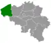 | |
|---|---|---|
| Diksmuide | ||
| Kortrijk | ||
| Ostend | ||
| Roeselare | ||
| Tielt | ||
| Veurne | ||
| Ypres | ||
| ||
This article is issued from Wikipedia. The text is licensed under Creative Commons - Attribution - Sharealike. Additional terms may apply for the media files.