Gastonburg, Alabama | |
|---|---|
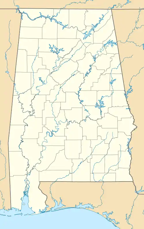 Gastonburg, Alabama Location within the state of Alabama  Gastonburg, Alabama Gastonburg, Alabama (the United States) | |
| Coordinates: 32°12′26″N 87°26′14″W / 32.20722°N 87.43722°W | |
| Country | United States |
| State | Alabama |
| County | Wilcox |
| Elevation | 220 ft (70 m) |
| Time zone | UTC-6 (Central (CST)) |
| • Summer (DST) | UTC-5 (CDT) |
| Area code | 334 |
Gastonburg is an unincorporated community in Wilcox County, Alabama, United States,[1] located on Alabama State Route 5.
Geography
Gastonburg is located at 32°12′26″N 87°26′15″W / 32.20736°N 87.43749°W and has an elevation of 220 feet (67 m).[1]
Demographics
| Census | Pop. | Note | %± |
|---|---|---|---|
| 1910 | 145 | — | |
| 1920 | 140 | −3.4% | |
| 1930 | 136 | −2.9% | |
| U.S. Decennial Census[2] | |||
Gastonburg was listed on the 1910-30 U.S. Censuses as an incorporated town. It disincorporated at some point after 1930.
Notable person
- Laurance L. Cross, Presbyterian minister and mayor of Berkeley, California from 1947 to 1955
References
- 1 2 U.S. Geological Survey Geographic Names Information System: Gastonburg, Alabama
- ↑ "U.S. Decennial Census". Census.gov. Retrieved June 6, 2013.
Municipalities and communities of Wilcox County, Alabama, United States | ||
|---|---|---|
| City | 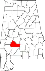 Map of Alabama highlighting Wilcox County | |
| Towns | ||
| CDPs | ||
| Unincorporated communities | ||
| Ghost towns | ||
This article is issued from Wikipedia. The text is licensed under Creative Commons - Attribution - Sharealike. Additional terms may apply for the media files.