Grabo | |
|---|---|
Town, sub-prefecture, and commune | |
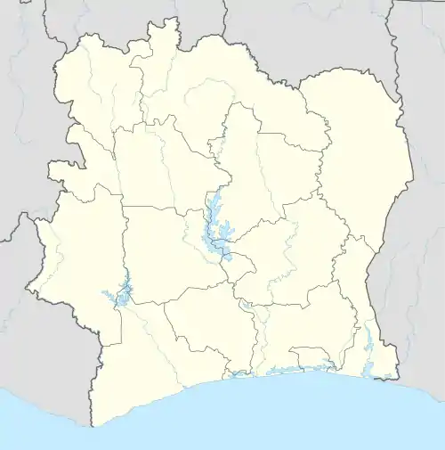 Grabo Location in Ivory Coast | |
| Coordinates: 4°55′N 7°30′W / 4.917°N 7.500°W | |
| Country | |
| District | Bas-Sassandra |
| Region | San-Pédro |
| Department | Tabou |
| Population (2014)[1] | |
| • Total | 39,181 |
| Time zone | UTC+0 (GMT) |
Grabo is a town in south-western Ivory Coast. It is a sub-prefecture and commune of Tabou Department in San-Pédro Region, Bas-Sassandra District. The town is three kilometres east of the Cavally River, which forms the border with Liberia.
In 2014, the population of the sub-prefecture of Grabo was 39,181.[2]
Villages
The nineteen villages of the sub-prefecture of Grabo and their population in 2014 are:[2]
- Déblablai (1 080)
- Djimané (103)
- Dougbo (317)
- Fêtè (518)
- Gbapet (2 729)
- Grabo (8 980)
- Négbatchi (6 139)
- Nouin (349)
- Siahé (1 618)
- Gbahiro (748)
- Gnato (12 803)
- Guikla (119)
- Ouesséto (163)
- Podoué (1 295)
- Sioulo (324)
- Soklodogba (501)
- Soto (950)
- Tiboto (221)
- Woté (224)
References
- ↑ "Côte d'Ivoire". geohive.com. Retrieved 8 December 2015.
- 1 2 "RGPH 2014, Répertoire des localités, Région San-Pédro" (PDF). ins.ci. Retrieved 5 August 2019.
Regional seat: San-Pédro | ||
| San-Pédro Department | 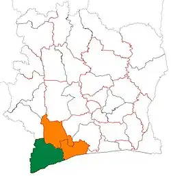 | |
| Tabou Department | ||
* also a commune | ||
This article is issued from Wikipedia. The text is licensed under Creative Commons - Attribution - Sharealike. Additional terms may apply for the media files.