Olodio | |
|---|---|
Town and sub-prefecture | |
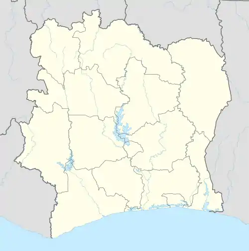 Olodio Location in Ivory Coast | |
| Coordinates: 4°43′N 7°28′W / 4.717°N 7.467°W | |
| Country | |
| District | Bas-Sassandra |
| Region | San-Pédro |
| Department | Tabou |
| Population (2014)[1] | |
| • Total | 15,824 |
| Time zone | UTC+0 (GMT) |
Olodio is a town in southwestern Ivory Coast. It is a sub-prefecture of Tabou Department in San-Pédro Region, Bas-Sassandra District. The town is 10 kilometres east of the border with Liberia.
Olodio was a commune until March 2012, when it became one of 1126 communes nationwide that were abolished.[2]
In 2014, the population of the sub-prefecture of Olodio was 15,824.[3]
Villages
The twenty six villages of the sub-prefecture of Olodio and their population in 2014 are:[3]
- Blidouba (1 702)
- Dahioké (545)
- Déwaké V4 (370)
- Déwaké Village (1 025)
- Donié (302)
- Gbaouloké (210)
- Gbapé (138)
- Ibo 2 (265)
- Idioké (707)
- Irato (419)
- Kétoké (346)
- Klodio (684)
- Leproserie Ibole (38)
- Méré (155)
- Niro (459)
- Olodio (4 285)
- Ouédébo (754)
- Pounié 1 (377)
- Pounié 2 (515)
- Sèh (615)
- Tanouplou (210)
- Taouloké (98)
- Taté 1 (143)
- Taté 2 (249)
- Tépo Iboké (1 084)
- Yédè (129)
References
- ↑ "Côte d'Ivoire". geohive.com. Retrieved 8 December 2015.
- ↑ "Le gouvernement ivoirien supprime 1126 communes, et maintient 197 pour renforcer sa politique de décentralisation en cours", news.abidjan.net, 7 March 2012.
- 1 2 "RGPH 2014, Répertoire des localités, Région San-Pédro" (PDF). ins.ci. Retrieved 5 August 2019.
Regional seat: San-Pédro | ||
| San-Pédro Department | 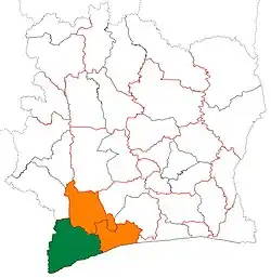 | |
| Tabou Department | ||
* also a commune | ||
This article is issued from Wikipedia. The text is licensed under Creative Commons - Attribution - Sharealike. Additional terms may apply for the media files.