 | ||||
|---|---|---|---|---|
| Автошлях Н02 | ||||
 | ||||
| Route information | ||||
| Length | 590 km (370 mi) | |||
| Major junctions | ||||
| west end | Radyvyliv | |||
| east end | ||||
| Location | ||||
| Country | Ukraine | |||
| Oblasts | Ternopil, Kyiv | |||
| Highway system | ||||
| ||||
H02 is a regional road (H-Highway) in Kyiv Oblast and Ternopil Oblast, Ukraine. It runs west-east and connects Radyvyliv with Sofiivka.[1] The section from Kremenets to Rzhyshchiv was previously a portion of P32.
Main route
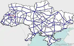
Main route and connections to/intersections with other highways in Ukraine.[2]
See also
References
- ↑ "Про внесення змін у додаток до постанови Кабінету Міністрів України від 16 вересня 2015 р. № 712" [New automobile road numbering] (in Ukrainian).
- ↑ Details
External links
- Regional Roads in Ukraine in Russian
| E-roads in Ukraine | ||
|---|---|---|
| International | ||
| National | ||
| Regional | ||
| ||
Roads in Lviv Oblast | ||
|---|---|---|
| E-roads in Halychyna | ||
| International | ||
| National | ||
| Regional | ||
| Territorial |
| |
| ||
This article is issued from Wikipedia. The text is licensed under Creative Commons - Attribution - Sharealike. Additional terms may apply for the media files.