 | ||||
|---|---|---|---|---|
| Автошлях Н06 | ||||
 | ||||
| Route information | ||||
| Length | 66.4 km (41.3 mi) | |||
| Major junctions | ||||
| northeast end | ||||
| southwest end | ||||
| Location | ||||
| Country | Ukraine | |||
| Regions | Crimea, Sevastopol | |||
| Highway system | ||||
| ||||
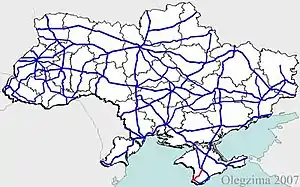
H06 is a regional road (H-Highway) in Crimea and Sevastopol. It runs northeast-south-southwest and connects Simferopol with Sevastopol.[1] Since the 2014 annexation of Crimea by the Russian Federation, the route was given another code 35P-001 and 67P-1 (within Sevastopol).
Main route
Main route and connections to/intersections with other highways in Ukraine.[2]
| Marker | Main settlements | Notes | Highway Interchanges |
|---|---|---|---|
| Crimea | |||
| Simferopol | |||
| Novopavlivka | |||
| Bakhchysarai | |||
| Siren | |||
| Sevastopol | |||
| Fruktove | |||
| 66.4 km | Oktyabrsky • Sakharna Holovka | ||
See also
References
External links
- Regional Roads in Ukraine in Russian
| E-roads in Ukraine | ||
|---|---|---|
| International | ||
| National | ||
| Regional | ||
| ||
This article is issued from Wikipedia. The text is licensed under Creative Commons - Attribution - Sharealike. Additional terms may apply for the media files.