Holsbeek | |
|---|---|
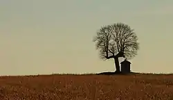 The chapel of Saint Joseph, near Sint-Pieters-Rode, Holsbeek | |
 Flag  Coat of arms | |
Location of Holsbeek | |
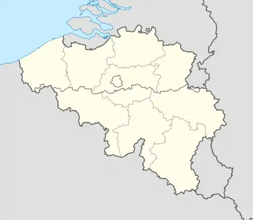 Holsbeek Location in Belgium
Location of Holsbeek in Flemish Brabant 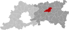 | |
| Coordinates: 50°55′N 04°46′E / 50.917°N 4.767°E | |
| Country | |
| Community | Flemish Community |
| Region | Flemish Region |
| Province | Flemish Brabant |
| Arrondissement | Leuven |
| Government | |
| • Mayor | Bram Van Baelen (CD&V) |
| • Governing party/ies | CD&V, OpenVld, Groen |
| Area | |
| • Total | 38.78 km2 (14.97 sq mi) |
| Population (2018-01-01)[1] | |
| • Total | 9,905 |
| • Density | 260/km2 (660/sq mi) |
| Postal codes | 3220, 3221 |
| NIS code | 24043 |
| Area codes | 016 |
| Website | www.holsbeek.be |
Holsbeek (Dutch pronunciation: [ˈɦɔlzbeːk]) is a municipality located in the Belgian province of Flemish Brabant. The municipality comprises the towns of Holsbeek proper, Kortrijk-Dutsel, Nieuwrode and Sint-Pieters-Rode. On January 1, 2006, Holsbeek had a total population of 9,205. The total area is 38.50 km2 which gives a population density of 239 inhabitants per km2.
A notable landmark in Holsbeek is the medieval castle of Horst,[2] which is the fictional home of de rode ridder (the red knight).
References
- ↑ "Wettelijke Bevolking per gemeente op 1 januari 2018". Statbel. Retrieved 9 March 2019.
- ↑ Holsbeek, Horststraat 28 3220 (2015-05-29). "Kasteeldomein van Horst". Agentschap voor Natuur en Bos (in Dutch). Retrieved 2023-07-06.
{{cite web}}: CS1 maint: numeric names: authors list (link)
External links
 Media related to Holsbeek at Wikimedia Commons
- Gazetteer Entry
Places adjacent to Holsbeek | ||||||||||||||||
|---|---|---|---|---|---|---|---|---|---|---|---|---|---|---|---|---|
| ||||||||||||||||
This article is issued from Wikipedia. The text is licensed under Creative Commons - Attribution - Sharealike. Additional terms may apply for the media files.