Keerbergen | |
|---|---|
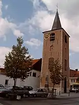 Sint Michiels church | |
 Flag .svg.png.webp) Coat of arms | |
Location of Keerbergen | |
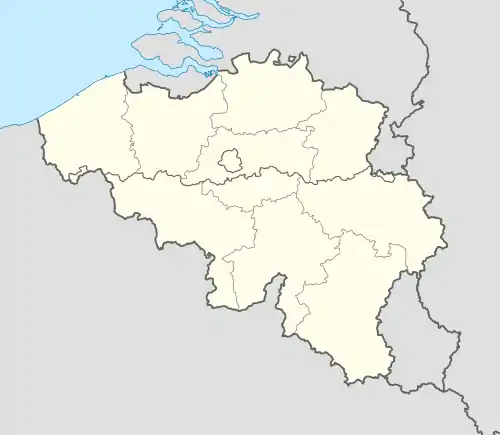 Keerbergen Location in Belgium
Location of Keerbergen in Flemish Brabant 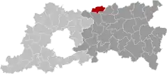 | |
| Coordinates: 51°00′N 04°37′E / 51.000°N 4.617°E | |
| Country | |
| Community | Flemish Community |
| Region | Flemish Region |
| Province | Flemish Brabant |
| Arrondissement | Leuven |
| Government | |
| • Mayor | Ann Schevenels (OpenVLD) |
| • Governing party/ies | OpenVld, CD&V |
| Area | |
| • Total | 18.54 km2 (7.16 sq mi) |
| Population (2018-01-01)[1] | |
| • Total | 12,743 |
| • Density | 690/km2 (1,800/sq mi) |
| Postal codes | 3140 |
| NIS code | 24048 |
| Area codes | 015, 016 |
| Website | www.keerbergen.be |
Keerbergen (Dutch pronunciation: [ˈkeːrbɛrɣə(n)]) is a municipality located in the Belgian province of Flemish Brabant. The municipality comprises only the town of Keerbergen proper. On January 1, 2006, Keerbergen had a total population of 12,444. The total area is 18.39 km² which gives a population density of 677 inhabitants per km².
History
The oldest reference to Keerbergen appeared the eleventh century as Chierberghe, which was donated in 1036 by the lord of Incourt to the bishop of Liège.
References
- ↑ "Wettelijke Bevolking per gemeente op 1 januari 2018". Statbel. Retrieved 9 March 2019.
External links
Wikivoyage has a travel guide for Keerbergen.
 Media related to Keerbergen at Wikimedia Commons
- Official website - Available only in Dutch
- Gazetteer Entry
Places adjacent to Keerbergen | |
|---|---|
This article is issued from Wikipedia. The text is licensed under Creative Commons - Attribution - Sharealike. Additional terms may apply for the media files.