Lajeado | |
|---|---|
Municipality | |
| The Municipality of Lajeado | |
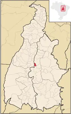 Location of Lajeado in the State of Tocantins | |
| Coordinates: 09°45′03″S 48°21′28″W / 9.75083°S 48.35778°W | |
| Country | |
| Region | North |
| State | |
| Founded | May 5 |
| Government | |
| • Mayor | Júnior Bandeira (PSDB) |
| Area | |
| • Total | 322.481 km2 (124.511 sq mi) |
| Elevation | 202 m (663 ft) |
| Population (2020 [1]) | |
| • Total | 3,167 |
| • Density | 9.8/km2 (25/sq mi) |
| Time zone | UTC−3 (BRT) |
| HDI (2000) | 0.715 – medium[2] |
| Website | www.lajeado.to.gov.br |
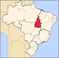
Lajeado is a municipality located in the Brazilian state of Tocantins.
The municipality contains 12% of the 9,931 hectares (24,540 acres) Lajeado State Park.[3]
References
- ↑ "IBGE 2020". Retrieved 26 January 2021.
- ↑ Índice de Desenvolvimento Humano - Municipal, 1991 e 2000 Archived 2009-10-03 at the Wayback Machine - UNDP
- ↑ PES do Lajeado (in Portuguese), ISA: Instituto Socioambiental, retrieved 2016-08-06
This article is issued from Wikipedia. The text is licensed under Creative Commons - Attribution - Sharealike. Additional terms may apply for the media files.