LeRoy, Wisconsin | |
|---|---|
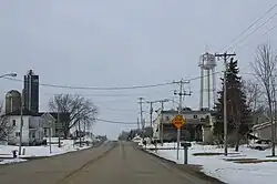 Looking north at LeRoy | |
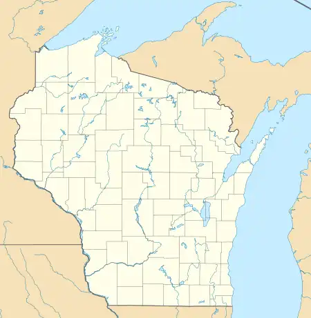 LeRoy Location within the state of Wisconsin | |
| Coordinates: 43°34′24″N 88°33′38″W / 43.57333°N 88.56056°W | |
| Country | |
| State | |
| County | Dodge |
| Town | LeRoy |
| Elevation | 1,050 ft (320 m) |
| Time zone | UTC-6 (Central (CST)) |
| • Summer (DST) | UTC-5 (CDT) |
| ZIP codes | 53048 |
| Area code | 920 |
LeRoy is an unincorporated community in the town of LeRoy in Dodge County, Wisconsin, United States.[1] It is located at the intersection of County Y and County YY several miles west of Knowles.[2][3]
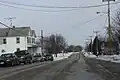 Looking east at downtown LeRoy
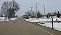 Looking north at LeRoy's welcome sign
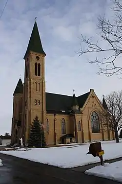 St. Andrew's Church, listed on the National Register of Historic Places
References
- ↑ "LeRoy, Wisconsin". Geographic Names Information System. United States Geological Survey, United States Department of the Interior.
- ↑ "Location of LeRoy". Mapquest. Retrieved April 20, 2010.
- ↑ 2001-2 Wisconsin Road Map. State of Wisconsin.
Municipalities and communities of Dodge County, Wisconsin, United States | ||
|---|---|---|
| Cities | 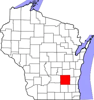 | |
| Villages | ||
| Towns | ||
| CDPs | ||
| Other communities |
| |
| Ghost towns | ||
| Footnotes | ‡This populated place also has portions in an adjacent county or counties | |
This article is issued from Wikipedia. The text is licensed under Creative Commons - Attribution - Sharealike. Additional terms may apply for the media files.