Mapiripán | |
|---|---|
Municipality and town | |
.svg.png.webp) Flag | |
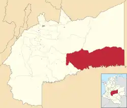 Location of the municipality and town of Mapiripán in the Meta Department of Colombia. | |
| Country | |
| Department | Meta Department |
| Area | |
| • Total | 11,900 km2 (4,600 sq mi) |
| Elevation | 250 m (820 ft) |
| Population (Census 2018[1]) | |
| • Total | 6,036 |
| • Density | 0.51/km2 (1.3/sq mi) |
| Time zone | UTC-5 (Colombia Standard Time) |
| Climate | Am |
Mapiripán is a town and municipality in the Meta Department, Colombia. It was the site of the 1997 Mapiripán Massacre.
See also
References
- ↑ "Censo Nacional de Población y Vivienda 2018" (in Spanish). DANE. Retrieved 25 April 2020.
2°53′N 72°08′W / 2.883°N 72.133°W
This article is issued from Wikipedia. The text is licensed under Creative Commons - Attribution - Sharealike. Additional terms may apply for the media files.