Pengjiang
蓬江区 | |
|---|---|
.jpg.webp) | |
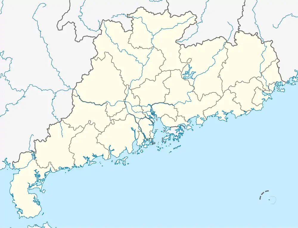 Pengjiang Location in Guangdong | |
| Coordinates: 22°35′42″N 113°04′43″E / 22.59500°N 113.07861°E | |
| Country | People's Republic of China |
| Province | Guangdong |
| Prefecture-level city | Jiangmen |
| Area | |
| • Total | 323.7 km2 (125.0 sq mi) |
| Time zone | UTC+8 (China Standard) |
Pengjiang (Chinese: 蓬江; pinyin: Péngjiāng; Jyutping: fung4gong1) is a district of Jiangmen, Guangdong province, China.
Administrative divisions
| Name | Chinese (S) | Hanyu Pinyin | Population (2010)[1] |
|---|---|---|---|
| Huanshi Subdistrict | 环市街道 | Huánshì Jiēdào | 119,423 |
| Canghou Subdistrict | 仓后街道 | Cānghòu Jiēdào | 59,565 |
| Didong Subdistrict | 堤东街道 | Dīdōng Jiēdào | 76,765 |
| Beijie Subdistrict | 北街街道 | Běijiē Jiēdào | 58,374 |
| Baisha Subdistrict | 白沙街道 | Báishā Jiēdào | 109,791 |
| Chaolian Subdistrict | 潮连街道 | Cháolián Jiēdào | 29,395 |
| Tangxia town | 棠下镇 | Tángxià Zhèn | 76,021 |
| Hetang town | 荷塘镇 | Hétáng Zhèn | 88,085 |
| Duruan town | 杜阮镇 | Dùruǎn Zhèn | 101,727 |
Wikimedia Commons has media related to Pengjiang District.
| Sub-provincial cities |
| ||||||||||||||||||||||||||||||||||||||||||||||||||||||||||||||||||||
|---|---|---|---|---|---|---|---|---|---|---|---|---|---|---|---|---|---|---|---|---|---|---|---|---|---|---|---|---|---|---|---|---|---|---|---|---|---|---|---|---|---|---|---|---|---|---|---|---|---|---|---|---|---|---|---|---|---|---|---|---|---|---|---|---|---|---|---|---|---|
| Prefecture-level cities |
| ||||||||||||||||||||||||||||||||||||||||||||||||||||||||||||||||||||
Transport
- Tangxia railway station
References
- ↑ shi, Guo wu yuan ren kou pu cha ban gong; council, Guo jia tong ji ju ren kou he jiu ye tong ji si bian = Tabulation on the 2010 population census of the people's republic of China by township / compiled by Population census office under the state; population, Department of; statistics, employment statistics national bureau of (2012). Zhongguo 2010 nian ren kou pu cha fen xiang, zhen, jie dao zi liao (Di 1 ban. ed.). Beijing Shi: Zhongguo tong ji chu ban she. ISBN 978-7-5037-6660-2.
{{cite book}}: CS1 maint: numeric names: authors list (link)
This article is issued from Wikipedia. The text is licensed under Creative Commons - Attribution - Sharealike. Additional terms may apply for the media files.