Pluherlin
Pluhernin | |
|---|---|
_%C3%89glise_Saint-Gentien_-_Ext%C3%A9rieur_-_02.jpg.webp) The parish church | |
.svg.png.webp) Coat of arms | |
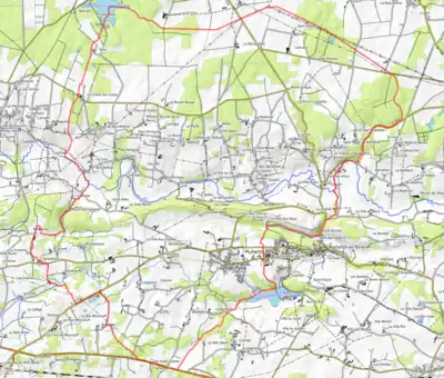
Location of Pluherlin | |
 Pluherlin  Pluherlin | |
| Coordinates: 47°41′49″N 2°21′49″W / 47.6969°N 2.3636°W | |
| Country | France |
| Region | Brittany |
| Department | Morbihan |
| Arrondissement | Vannes |
| Canton | Questembert |
| Intercommunality | Questembert Communauté |
| Government | |
| • Mayor (2020–2026) | Jean-Pierre Galudec[1] |
| Area 1 | 35.40 km2 (13.67 sq mi) |
| Population | 1,518 |
| • Density | 43/km2 (110/sq mi) |
| Time zone | UTC+01:00 (CET) |
| • Summer (DST) | UTC+02:00 (CEST) |
| INSEE/Postal code | 56171 /56220 |
| Elevation | 13–101 m (43–331 ft) |
| 1 French Land Register data, which excludes lakes, ponds, glaciers > 1 km2 (0.386 sq mi or 247 acres) and river estuaries. | |
Pluherlin (French pronunciation: [plyɛʁlɛ̃]; Breton: Pluhernin) is a commune in the Morbihan department of Brittany in north-western France.[3]
Geography
The river Arz flows eastward through the commune. The northern part of the commune belongs to a forest covered area called in french les Landes de Lanvaux.
Map
Demographics
Inhabitants of Pluherlin are called in French Pluherlinois.
See also
References
- ↑ "Maires du Morbihan" (PDF). Préfecture du Morbihan. 7 July 2020.
- ↑ "Populations légales 2021". The National Institute of Statistics and Economic Studies. 28 December 2023.
- ↑ INSEE commune file
External links
Wikimedia Commons has media related to Pluherlin.
- Base Mérimée: Search for heritage in the commune, Ministère français de la Culture. (in French)
- Mayors of Morbihan Association (in French)
This article is issued from Wikipedia. The text is licensed under Creative Commons - Attribution - Sharealike. Additional terms may apply for the media files.