Prunay-le-Temple | |
|---|---|
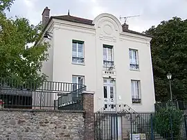 Town hall | |
Location of Prunay-le-Temple | |
 Prunay-le-Temple 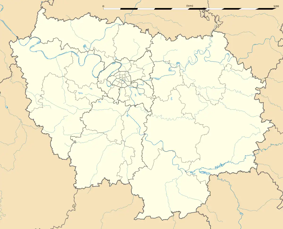 Prunay-le-Temple | |
| Coordinates: 48°51′43″N 1°40′28″E / 48.8619°N 1.6744°E | |
| Country | France |
| Region | Île-de-France |
| Department | Yvelines |
| Arrondissement | Mantes-la-Jolie |
| Canton | Bonnières-sur-Seine |
| Intercommunality | Pays houdanais |
| Government | |
| • Mayor (2020–2026) | Jean Myotte[1] |
| Area 1 | 6.77 km2 (2.61 sq mi) |
| Population | 411 |
| • Density | 61/km2 (160/sq mi) |
| Time zone | UTC+01:00 (CET) |
| • Summer (DST) | UTC+02:00 (CEST) |
| INSEE/Postal code | 78505 /78910 |
| Elevation | 67–153 m (220–502 ft) (avg. 100 m or 330 ft) |
| Website | www.mairie-prunayletemple.fr |
| 1 French Land Register data, which excludes lakes, ponds, glaciers > 1 km2 (0.386 sq mi or 247 acres) and river estuaries. | |
Prunay-le-Temple (French pronunciation: [pʁynɛ lə tɑ̃pl]) is a commune in the Yvelines department in the Île-de-France region in north-central France. Its area covers about 2.6 square miles on the plateau of Mantois. The altitude is generally between 100 and 130 meters, sloping slightly towards North.
See also
References
- ↑ "Répertoire national des élus: les maires" (in French). data.gouv.fr, Plateforme ouverte des données publiques françaises. 4 May 2022.
- ↑ "Populations légales 2021". The National Institute of Statistics and Economic Studies. 28 December 2023.
Wikimedia Commons has media related to Prunay-le-Temple.
This article is issued from Wikipedia. The text is licensed under Creative Commons - Attribution - Sharealike. Additional terms may apply for the media files.