Route 255 | ||||
|---|---|---|---|---|
 | ||||
| Route information | ||||
| Length | 129 km[1] (80 mi) | |||
| Major junctions | ||||
| North end | ||||
| South end | ||||
| Location | ||||
| Country | Canada | |||
| Province | Quebec | |||
| Major cities | Val-des-Sources | |||
| Highway system | ||||
| ||||

Route 255 is a north–south highway on the south shore of the St. Lawrence River. Its northern terminus is in Baie-du-Febvre at the junction of Route 132 and its southern terminus is in Bury at the junction of Quebec Route 214.
List of towns along Route 255
- Baie-du-Febvre
- Saint-Zephirin-de-Courval
- Saint-Joachim-de-Courval
- Saint-Cyrille-de-Wendover
- Saint-Lucien
- Saint-Felix-de-Kingsey
- Danville
- Val-des-Sources
- Wotton
- Sainte-Camille
- Bishopton
- Bury
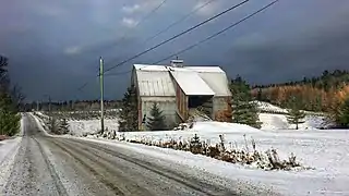 Gravel section of Route 255 in Bury.
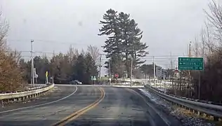 Intersection of Routes 112 and 253 in Dudswell.
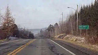 Route 255 towards Val-des-Sources in Dudswell.
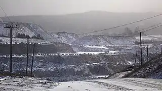 Route 255 crosses Dudswell and Asbestos mines.
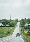 Route 255 approaching Wotton.
.jpg.webp) Route 255 as viewed northbound near Baie-du-Febvre, Quebec.
Route 255 as viewed northbound near Baie-du-Febvre, Quebec.
See also
References
- ↑ Ministère des transports, "Distances routières", page (?), Les Publications du Québec, 2005
External links
- Route 255 on Google Maps
- Provincial Route Map (Courtesy of the Quebec Ministry of Transportation) (in French)
This article is issued from Wikipedia. The text is licensed under Creative Commons - Attribution - Sharealike. Additional terms may apply for the media files.